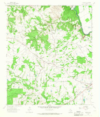
1964 Map of Elwood
USGS Topo · Published 1967About this map
The Trinity River forms a winding eastern boundary for this rural landscape, marking the edge where Madison County meets Leon County. The interior is defined by a dense network of tributaries including Larrison Creek, Myrtle Creek, and Goose Prairie Branch, which cut through a terrain of scattered prairies and wooded draws. Settlement patterns center on small hubs like Elwood and Midway, with the older community of Old Elwood situated to the north along the road to Tan Yard.
Find a feature on this map
34 named features on this map. Tap any name to fly to it.
Don’t see what you’re looking for? This feature index may not catch every label — zoom into the map to look around manually.
Map Details
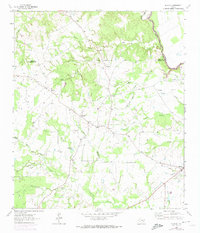
Editions of this 1964 Elwood Map
2 editions found
Other maps of this area

1953 · Palestine
USGS Topo · 1:250,000

1954 · Beaumont
USGS Topo · 1:250,000

1957 · Beaumont
USGS Topo · 1:250,000

1957 · Palestine
USGS Topo · 1:250,000

1962 · Connor
USGS Topo · 1:24,000

1962 · Baker Lake
USGS Topo · 1:24,000

1963 · Madisonville
USGS Topo · 1:24,000

1964 · Sand Ridge
USGS Topo · 1:24,000

1964 · Austonio
USGS Topo · 1:24,000

1964 · Middleton
USGS Topo · 1:24,000