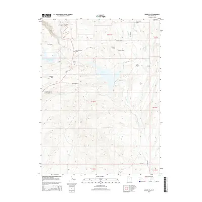
2014 Map of Donkey Flat
USGS Topo · Published 2014About this map
Red Fleet Reservoir dominates this high-desert landscape in Uintah County, managed by the U.S. Geological Survey in coordination with local agencies. The terrain is defined by deep incisions and drainage patterns, notably Big Brush Gorge and Steinaker Draw, while human industry is evident at the Stauffer Chemical Tailings Pond N near the northwestern corner. The map traces the route of Us-191, which passes through the Drive Through the Ages Geological Area, highlighting the region's significant geological exposures.
Find a feature on this map
34 named features on this map. Tap any name to fly to it.
Don’t see what you’re looking for? This feature index may not catch every label — zoom into the map to look around manually.
Map Details
Editions of this 2014 Donkey Flat Map
This is the sole edition of this map. No revisions or reprints were ever made.
Other maps of this area

1885 · Ashley
USGS Topo · 1:250,000

1906 · Marsh Peak
USGS Topo · 1:125,000

1907 · Jensen
USGS Topo · 1:125,000

1908 · Marsh Peak
USGS Topo · 1:125,000

1910 · Jensen
USGS Topo · 1:125,000

1917 · Vernal
USGS Topo · 1:125,000

1950 · Burnt Cabin Gorge
USGS Topo · 1:24,000

1950 · Blair Basin
USGS Topo · 1:24,000

1950 · Dyer Mountain
USGS Topo · 1:24,000

1954 · Vernal
USGS Topo · 1:250,000