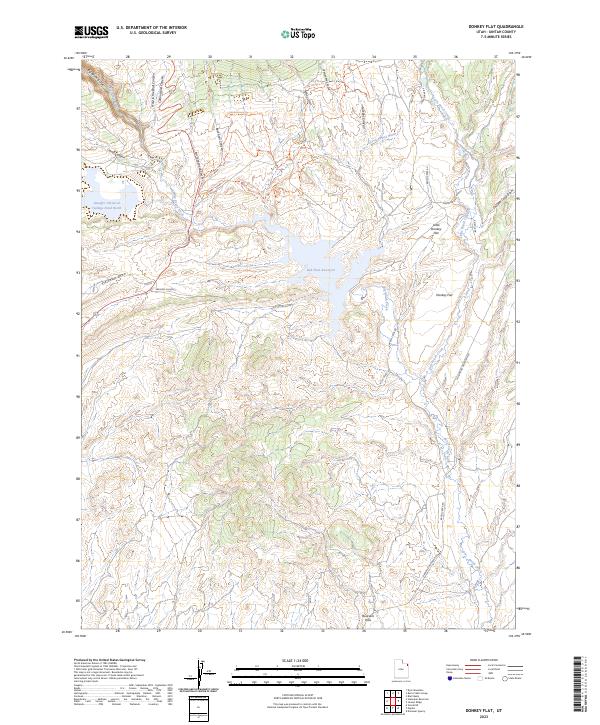
2023 Map of Donkey Flat
USGS Topo · Published 2023About this map
Red Fleet Reservoir dominates the central landscape of this Uintah County quadrangle, where the Red Fleet Aqueduct serves as a critical piece of water infrastructure in the arid Utah basin. The map illustrates a complex intersection of industrial land use and natural topography, specifically shown by the Stauffer Chemical Tailings Pond North situated near the headwaters of Big Brush Creek.
Find a feature on this map
31 named features on this map. Tap any name to fly to it.
Don’t see what you’re looking for? This feature index may not catch every label — zoom into the map to look around manually.
Map Details
Editions of this 2023 Donkey Flat Map
This is the sole edition of this map. No revisions or reprints were ever made.
Other maps of this area

1885 · Ashley
USGS Topo · 1:250,000

1906 · Marsh Peak
USGS Topo · 1:125,000

1907 · Jensen
USGS Topo · 1:125,000

1908 · Marsh Peak
USGS Topo · 1:125,000

1910 · Jensen
USGS Topo · 1:125,000

1917 · Vernal
USGS Topo · 1:125,000

1950 · Burnt Cabin Gorge
USGS Topo · 1:24,000

1950 · Blair Basin
USGS Topo · 1:24,000

1950 · Dyer Mountain
USGS Topo · 1:24,000

1954 · Vernal
USGS Topo · 1:250,000