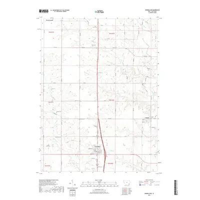
2018 Map of Donnellson
USGS Topo · Published 2018About this map
The town of Donnellson serves as a central hub for this corner of Lee County, where the street grid of the village gives way to a sprawling landscape of Iowa farmland and small settlements. The map documents the smaller community of Franklin and the village of Mount Hamill, both connected by a dense network of county roads. A remarkable concentration of family and denominational burial grounds suggests a long history of local settlement, including the Mennonite Cem, Blacksmith Cem, and the Pioneer Cem.
Find a feature on this map
70 named features on this map. Tap any name to fly to it.
Don’t see what you’re looking for? This feature index may not catch every label — zoom into the map to look around manually.
Map Details
Editions of this 2018 Donnellson Map
This is the sole edition of this map. No revisions or reprints were ever made.
Other maps of this area
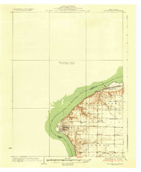
1936 · Fort Madison
USGS Topo · 1:62,500
1958 · Burlington
USGS Topo · 1:250,000
1961 · Burlington
USGS Topo · 1:250,000
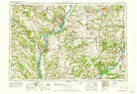
1963 · Burlington
USGS Topo · 1:250,000
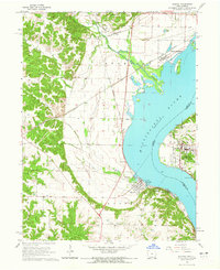
1964 · Nauvoo
USGS Topo · 1:24,000
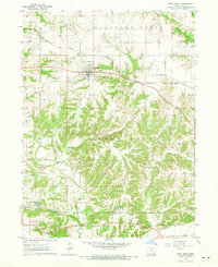
1964 · West Point
USGS Topo · 1:24,000
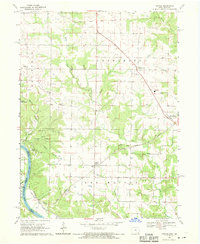
1968 · Argyle
USGS Topo · 1:24,000
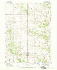
1968 · Donnellson
USGS Topo · 1:24,000
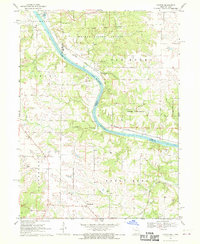
1968 · Croton
USGS Topo · 1:24,000
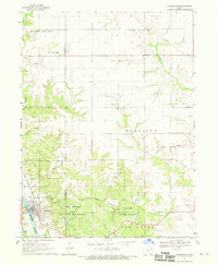
1968 · Farmington
USGS Topo · 1:24,000