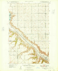
1948 Map of Donnybrook
USGS Topo · Published 1948About this map
Donnybrook serves as the focal point of this late 1940s landscape, situated at the confluence of several prominent coulees and the Des Lacs River. The town sits at a critical junction of the Minneapolis St Paul and Sault Ste Marie and Great Northern railroads, which parallel the river valley. To the northwest, the Des Lacs Migratory Bird Refuge Boundary encompasses Des Lacs Lake and Lower Des Lacs Lake, protected by engineering features like Dam No 7A Spillway and Dam No 8.
Find a feature on this map
33 named features on this map. Tap any name to fly to it.
Don’t see what you’re looking for? This feature index may not catch every label — zoom into the map to look around manually.
Map Details
Editions of this 1948 Donnybrook Map
This is the sole edition of this map. No revisions or reprints were ever made.
Other maps of this area
1947 · Tolley
USGS Topo · 1:62,500
1948 · Kenmare
USGS Topo · 1:24,000
1948 · Norma
USGS Topo · 1:24,000
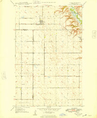
1948 · Tolley
USGS Topo · 1:24,000
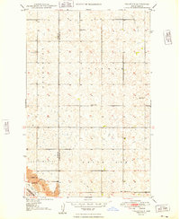
1949 · Tolley SE
USGS Topo · 1:24,000
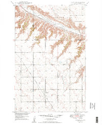
1949 · Hartland
USGS Topo · 1:24,000
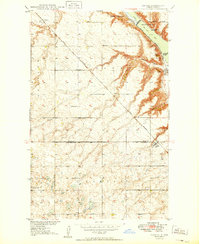
1949 · Coulee
USGS Topo · 1:24,000
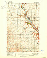
1950 · Kenmare
USGS Topo · 1:62,500
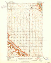
1950 · Tolley
USGS Topo · 1:62,500
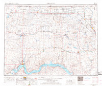
1953 · Williston
USGS Topo · 1:250,000