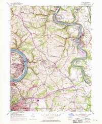
1954 Map of Donora
USGS Topo · Published 1970About this map
The industrial corridor along the Monongahela River and Youghiogheny River centers on the dense riverfront settlements of Donora, Monessen, and West Newton. In the mid-1950s, this region was a landscape of concentrated industry and growing residential districts, where the Norfolk and Western and Baltimore and Ohio Railroad lines hugged the riverbanks to serve local mills and mines. Above the river valleys, the plateau of Rostraver shows a shift toward suburban development and rural infrastructure, including the Rostraver Airport and Rostraver High Sch.
Find a feature on this map
84 named features on this map. Tap any name to fly to it.
Don’t see what you’re looking for? This feature index may not catch every label — zoom into the map to look around manually.
Map Details
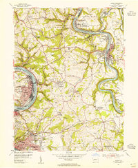
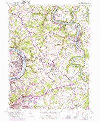
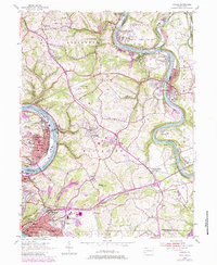
Editions of this 1954 Donora Map
4 editions found
Other maps of this area

1902 · Brownsville
USGS Topo · 1:62,500

1902 · Connellsville
USGS Topo · 1:62,500

1904 · Mc Keesport
USGS Topo · 1:62,500

1904 · Greensburg
USGS Topo · 1:62,500

1906 · Brownsville
USGS Topo · 1:62,500

1906 · Greensburg
USGS Topo · 1:62,500

1907 · Pittsburg
USGS Topo · 1:62,500

1931 · Brownsville
USGS Topo · 1:62,500

1931 · Connellsville
USGS Topo · 1:62,500

1933 · Brownsville
USGS Topo · 1:62,500