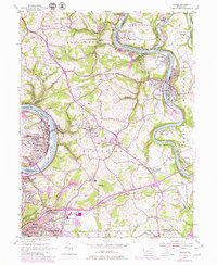
1954 Map of Donora
USGS Topo · Published 1979About this map
Industrial activity and river transport define this mid-century landscape along the Monongahela River and Youghiogheny River. The valley floors are densely packed with residential grids and heavy infrastructure in Donora and Monessen, where the Norfolk and Western and Pittsburgh and Lake Erie railroads follow the water's edge. Beyond the urban centers, the terrain transitions into the rolling hills of Rostraver and Elizabeth townships, dotted with numerous mines, quarries, and small rural crossroads like Fellsburg and Sweeneys Crossroads. Local heritage is anchored by significant sites such as the Concord Pioneer Sch and the Rehoboth Ch. This survey captures the region during a period of transition, documenting early aviation at Bostraver Airport alongside the traditional coal and rail economy that shaped these river towns.
Find a feature on this map
92 named features on this map. Tap any name to fly to it.
Don’t see what you’re looking for? This feature index may not catch every label — zoom into the map to look around manually.
Map Details
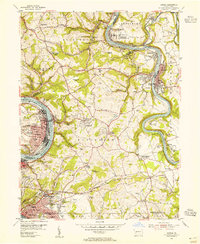
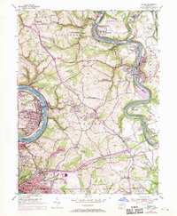
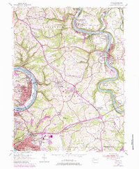
Editions of this 1954 Donora Map
4 editions found
Other maps of this area

1902 · Brownsville
USGS Topo · 1:62,500

1902 · Connellsville
USGS Topo · 1:62,500

1904 · Mc Keesport
USGS Topo · 1:62,500

1904 · Greensburg
USGS Topo · 1:62,500

1906 · Brownsville
USGS Topo · 1:62,500

1906 · Greensburg
USGS Topo · 1:62,500

1907 · Pittsburg
USGS Topo · 1:62,500

1931 · Brownsville
USGS Topo · 1:62,500

1931 · Connellsville
USGS Topo · 1:62,500

1933 · Brownsville
USGS Topo · 1:62,500