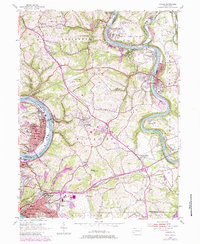
1954 Map of Donora
USGS Topo · Published 1984About this map
The industrial corridor of the Monongahela River and the Youghiogheny River defines this landscape in southwestern Pennsylvania. The densely built riverfronts of Donora and Monessen contrast with the rugged, winding hills of Rostraver and South Huntingdon. This mid-century survey documents the region's intense rail-and-river economy, with the Norfolk and Western and Baltimore and Ohio lines serving the coal and steel hubs.
Find a feature on this map
80 named features on this map. Tap any name to fly to it.
Don’t see what you’re looking for? This feature index may not catch every label — zoom into the map to look around manually.
Map Details
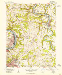
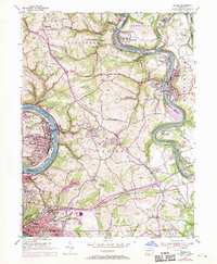
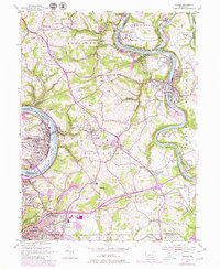
Editions of this 1954 Donora Map
4 editions found
Other maps of this area

1902 · Brownsville
USGS Topo · 1:62,500

1902 · Connellsville
USGS Topo · 1:62,500

1904 · Mc Keesport
USGS Topo · 1:62,500

1904 · Greensburg
USGS Topo · 1:62,500

1906 · Brownsville
USGS Topo · 1:62,500

1906 · Greensburg
USGS Topo · 1:62,500

1907 · Pittsburg
USGS Topo · 1:62,500

1931 · Brownsville
USGS Topo · 1:62,500

1931 · Connellsville
USGS Topo · 1:62,500

1933 · Brownsville
USGS Topo · 1:62,500