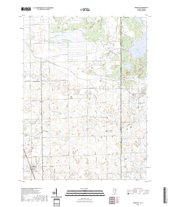
2024 Map of Donovan
USGS Topo · Published 2024About this map
Donovan anchors the southwestern corner of this survey, situated at the junction of Co Hwy 2 and a grid of rural routes that define this agricultural landscape. The area is marked by a complex system of water management and drainage, where Beaver Creek is supplemented by man-made channels like Beaver Ditch Number 1 and Beaver Ditch Number 2. This network reflects the transition from natural wetlands to productive farmland across the Illinois Indiana border.
Find a feature on this map
52 named features on this map. Tap any name to fly to it.
Don’t see what you’re looking for? This feature index may not catch every label — zoom into the map to look around manually.
Map Details
Editions of this 2024 Donovan Map
This is the sole edition of this map. No revisions or reprints were ever made.
Other maps of this area

1922 · Momence
USGS Topo · 1:62,500

1924 · Momence
USGS Topo · 1:62,500

1935 · Watseka
USGS Topo · 1:48,000

1939 · Watseka
USGS Topo · 1:62,500

1953 · Chicago
USGS Topo · 1:250,000

1953 · Danville
USGS Topo · 1:250,000

1955 · Danville
USGS Topo · 1:250,000

1956 · Danville
USGS Topo · 1:250,000

1957 · Chicago
USGS Topo · 1:250,000

1961 · Kentland
USGS Topo · 1:24,000