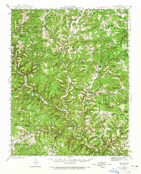
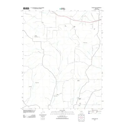
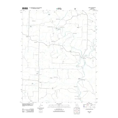
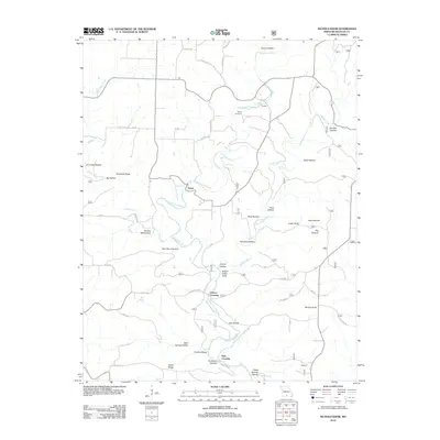
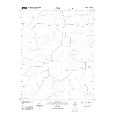
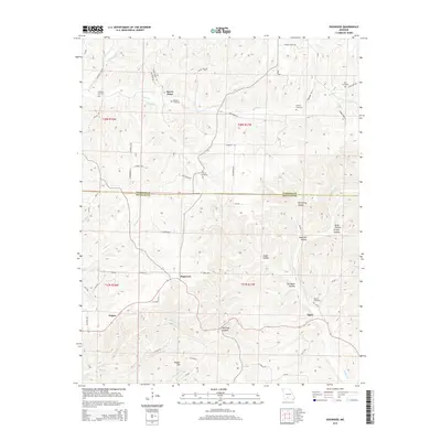
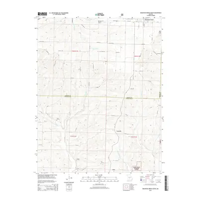
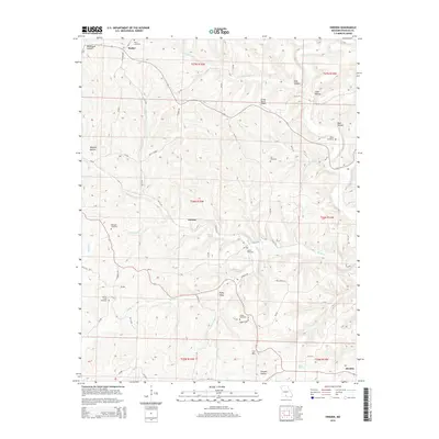
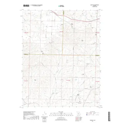
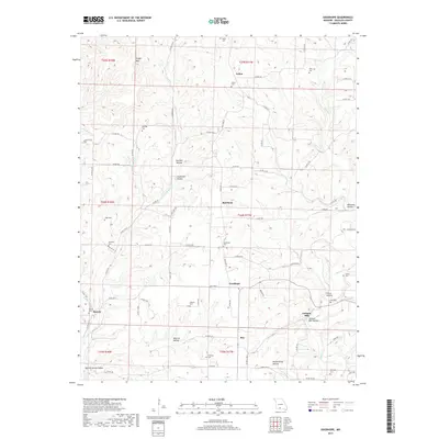
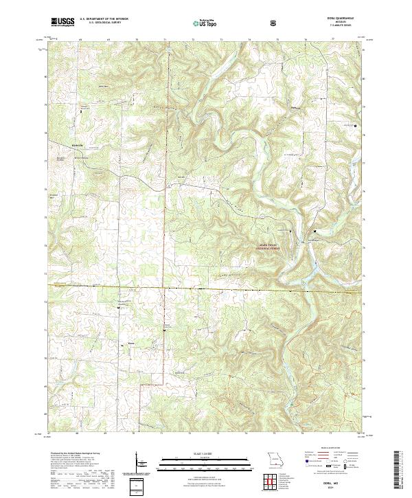
1973 Map of Dora
USGS Topo · Published 1976About this map
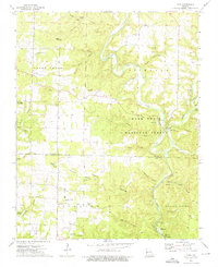
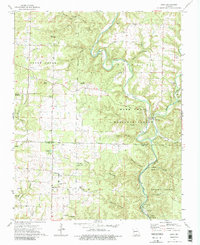
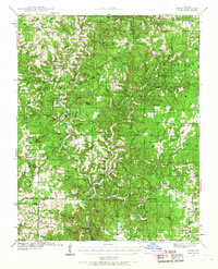
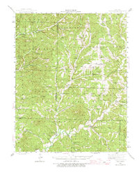
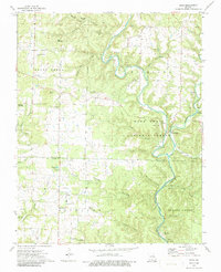
Richville and Dora anchor this rural landscape in the 1970s, where the rugged topography of Douglas and Ozark counties is defined by the North Fork White River. This corridor of the Ozarks is characterized by deep hollows like Slaughter Hollow and Marys Hollow, alongside numerous springs and caves, including Turnbull Cave and Nature Trail Cave. The map reveals a community deeply rooted in its terrain, with local institutions such as Little Zion Ch and Bethany Ch alongside several family and community burial grounds like Pleasant Mound Cem and Innman Cem. Significant river-based features such as Twin Bridges, the Hebron Access Point, and the Hammonds Mill Camp highlight the area's transition into a space for recreation within the Mark Twain National Forest, while the presence of Sawmill Hollow reflects the region's earlier industrial ties to the timbered hills.
Find a feature on this map
58 named features on this map. Tap any name to fly to it.
Don’t see what you’re looking for? This feature index may not catch every label — zoom into the map to look around manually.
Map Details
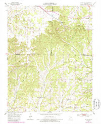
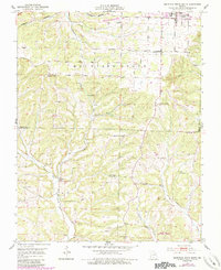
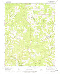
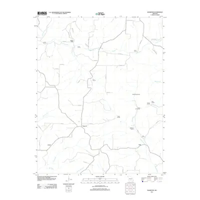
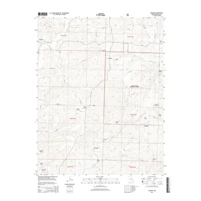
Editions of this 1973 Dora Map
3 editions found
Historical Maps of Richville Through Time
80 maps found

1937 Bradleyville
Douglas County, MO

1937 Buckhart
Douglas County, MO
1939 Topaz
Douglas County, MO

1941 Topaz
Douglas County, MO
1943 Bradleyville
Douglas County, MO
1943 Buckhart
Douglas County, MO

1945 Bradleyville
Douglas County, MO

1945 Buckhart
Douglas County, MO
1951 Cedar Gap
Douglas County, MO
1951 Mountain Grove South
Douglas County, MO
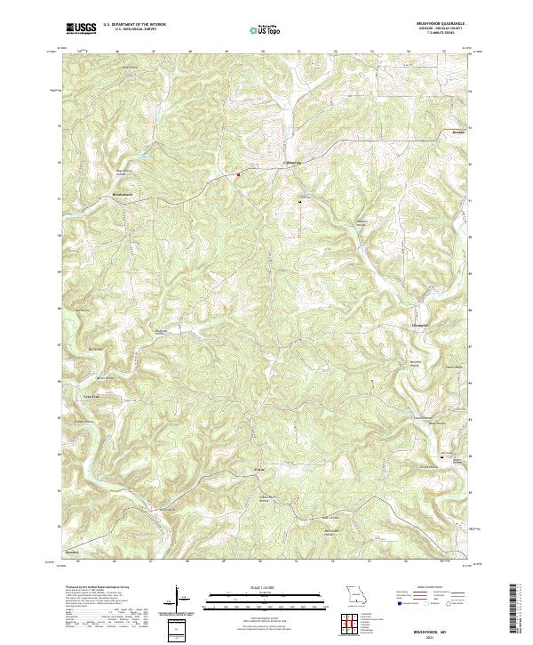
1973 Brushyknob
Douglas County, MO
1973 Dora
Douglas County, MO

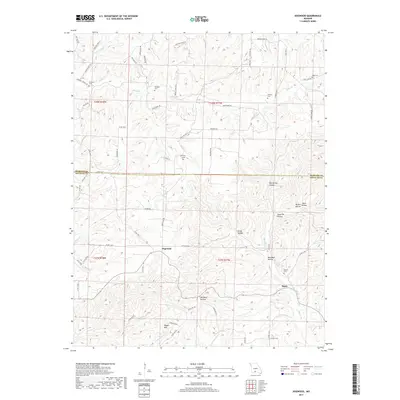
1973 Gentryville
Douglas County, MO
1973 Nichols Knob
Douglas County, MO

1973 Rockbridge
Douglas County, MO

1973 Vanzant
Douglas County, MO

1977 Cedar Gap
Douglas County, MO

1977 Mountain Grove South
Douglas County, MO

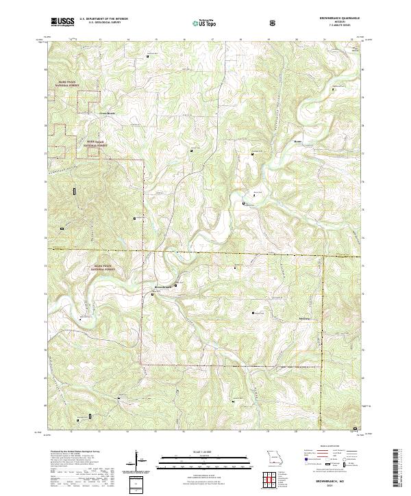
1982 Brownbranch
Douglas County, MO

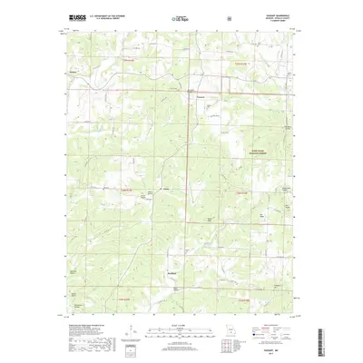
1982 Dogwood
Douglas County, MO
1982 Goodhope
Douglas County, MO

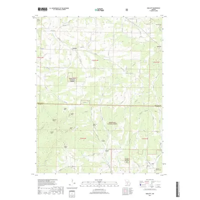
1982 Smallett
Douglas County, MO

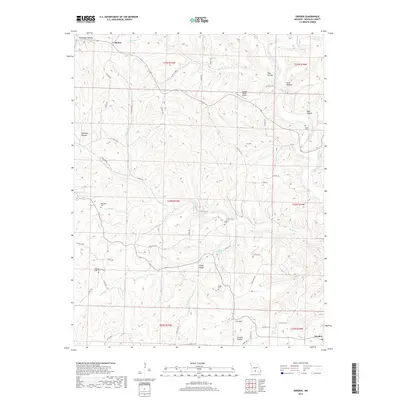
1982 Sweden
Douglas County, MO

2004 Brownbranch
Douglas County, MO

2004 Dora
Douglas County, MO
2004 Nichols Knob
Douglas County, MO

2004 Smallett
Douglas County, MO

2004 Vanzant
Douglas County, MO
2011 Cedar Gap
Douglas County, MO
2011 Dogwood
Douglas County, MO
2012 Brownbranch
Douglas County, MO
2012 Brushyknob
Douglas County, MO
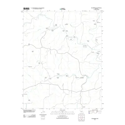
2012 Dora
Douglas County, MO
2012 Gentryville
Douglas County, MO
2012 Goodhope
Douglas County, MO
2012 Mountain Grove South
Douglas County, MO
2012 Nichols Knob
Douglas County, MO
2012 Rockbridge
Douglas County, MO
2012 Smallett
Douglas County, MO
2012 Sweden
Douglas County, MO
2012 Vanzant
Douglas County, MO
2015 Brownbranch
Douglas County, MO
2015 Brushyknob
Douglas County, MO
2015 Cedar Gap
Douglas County, MO
2015 Dogwood
Douglas County, MO
2015 Dora
Douglas County, MO
2015 Gentryville
Douglas County, MO
2015 Goodhope
Douglas County, MO
2015 Mountain Grove South
Douglas County, MO
2015 Nichols Knob
Douglas County, MO
2015 Rockbridge
Douglas County, MO
2015 Smallett
Douglas County, MO
2015 Sweden
Douglas County, MO
2015 Vanzant
Douglas County, MO
2017 Brownbranch
Douglas County, MO
2017 Brushyknob
Douglas County, MO
2017 Cedar Gap
Douglas County, MO
2017 Dogwood
Douglas County, MO
2017 Dora
Douglas County, MO
2017 Gentryville
Douglas County, MO
2017 Goodhope
Douglas County, MO
2017 Mountain Grove South
Douglas County, MO
2017 Nichols Knob
Douglas County, MO
2017 Rockbridge
Douglas County, MO
2017 Smallett
Douglas County, MO
2017 Sweden
Douglas County, MO
2017 Vanzant
Douglas County, MO
2021 Brownbranch
Douglas County, MO
2021 Brushyknob
Douglas County, MO
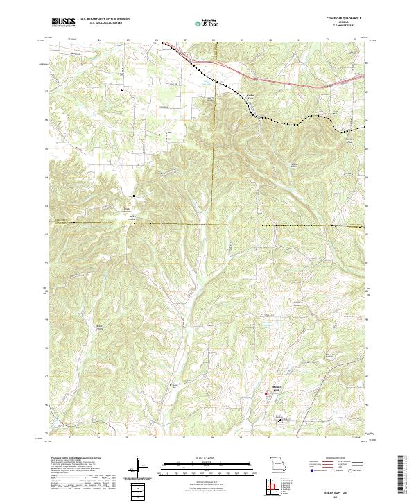
2021 Cedar Gap
Douglas County, MO
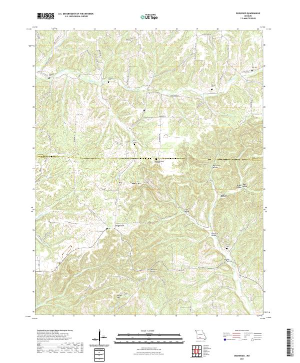
2021 Dogwood
Douglas County, MO
2021 Dora
Douglas County, MO
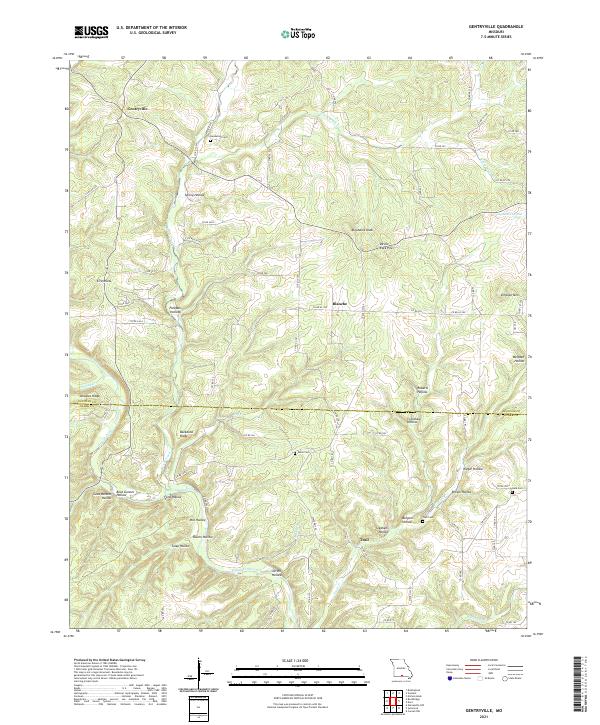
2021 Gentryville
Douglas County, MO
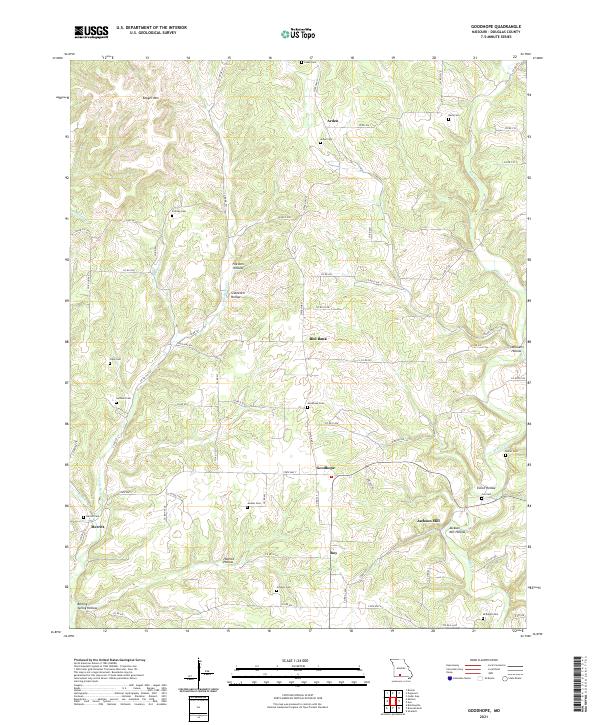
2021 Goodhope
Douglas County, MO

2021 Mountain Grove South
Douglas County, MO
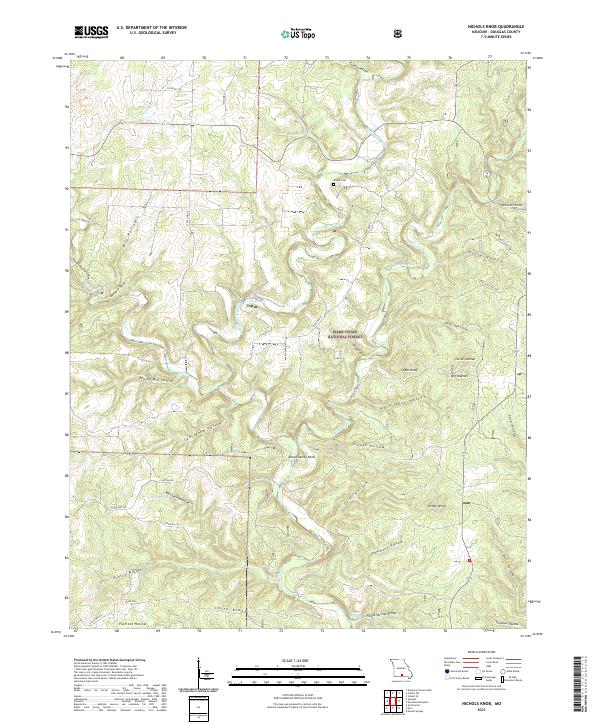
2021 Nichols Knob
Douglas County, MO
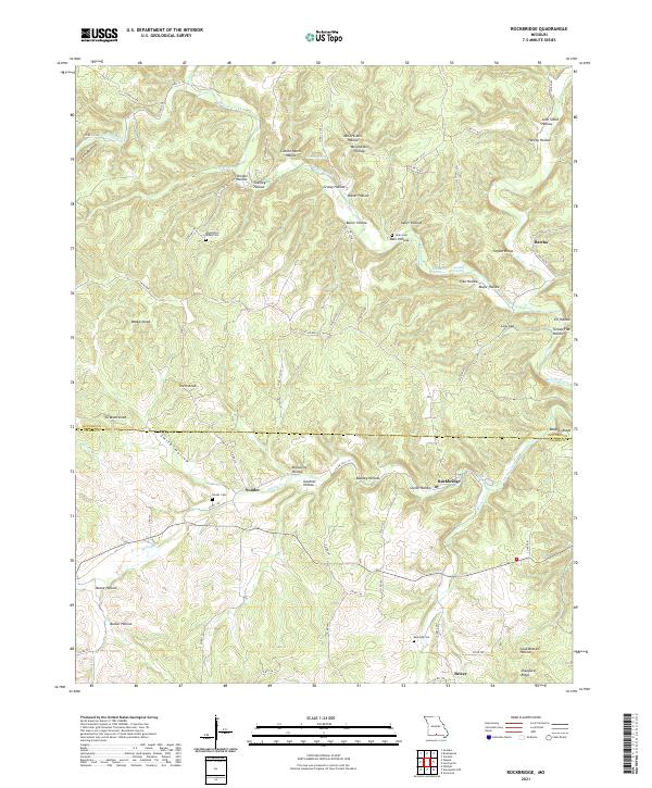
2021 Rockbridge
Douglas County, MO
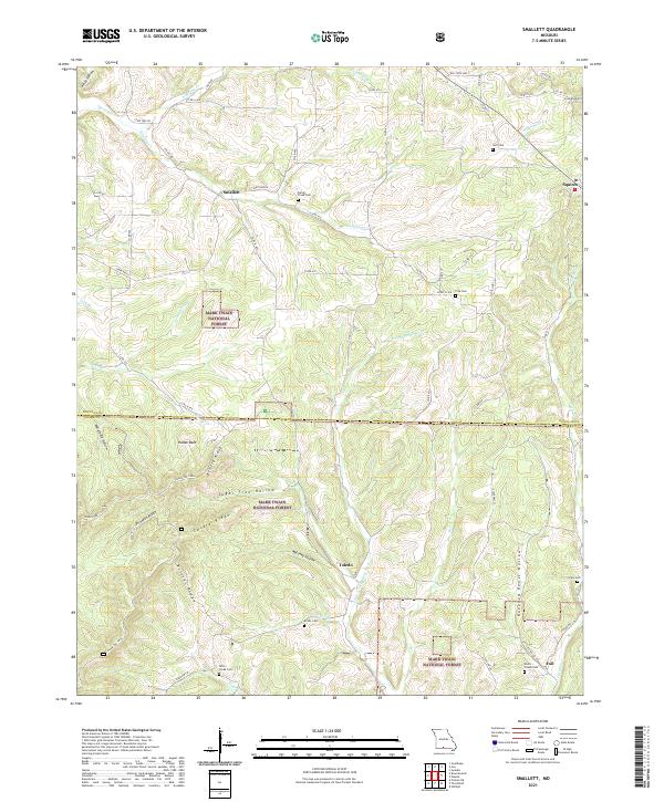
2021 Smallett
Douglas County, MO
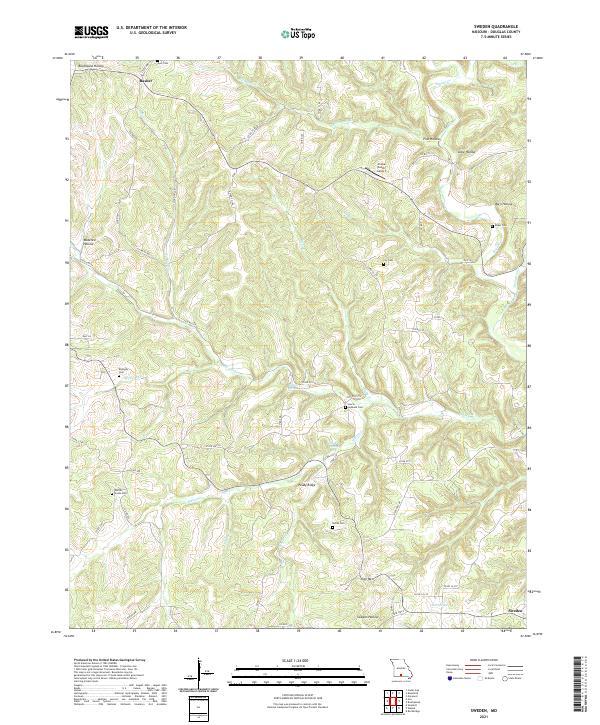
2021 Sweden
Douglas County, MO
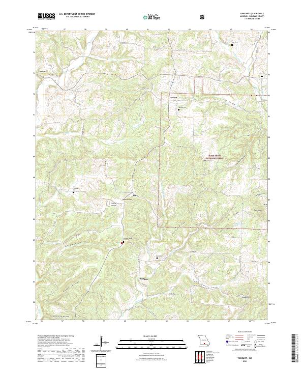
2021 Vanzant
Douglas County, MO