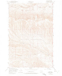
1953 Map of Doris
USGS Topo · Published 1975About this map
Chicago Milwaukee St Paul and Pacific railroad tracks dominate the northern corridor of this mid-century landscape, passing through the small outposts of Doris and Rye. The terrain is defined by the heavy contours of the Saddle Mountains, which separate the rail line from the extensive Yakima Firing Center Military Reservation to the south. This military presence consumes more than half of the mapped area, illustrating the post-war conversion of Kittitas County land for defense purposes. Drainages like Hanson Creek, Johnson Creek, and Cottonwood Creek cut through the arid slopes, providing the only distinct geographical breaks in an otherwise sparse and high-desert environment. The mapping reveals a clear division between the northern transportation corridor and the restricted southern highlands.
Find a feature on this map
9 named features on this map. Tap any name to fly to it.
Don’t see what you’re looking for? This feature index may not catch every label — zoom into the map to look around manually.
Map Details
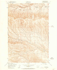
Editions of this 1953 Doris Map
2 editions found
Other maps of this area

1912 · Beverly
USGS Topo · 1:62,500

1917 · Priest Rapids
USGS Topo · 1:62,500

1936 · Hog Ranch Buttes
USGS Topo · 1:48,000

1939 · Boylston
USGS Topo · 1:48,000

1941 · Black Rock Spring
USGS Topo · 1:62,500

1943 · Boylston
USGS Topo · 1:62,500

1948 · Priest Rapids
USGS Topo · 1:24,000

1950 · Yakima
USGS Topo · 1:250,000

1951 · Priest Rapids
USGS Topo · 1:62,500

1953 · McDonald Spring
USGS Topo · 1:24,000