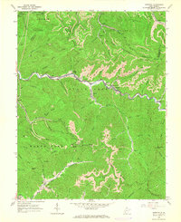
1965 Map of Dorothy
USGS Topo · Published 1966About this map
Coal extraction and transport define this mid-1960s landscape, where the Chesapeake and Ohio railroad follows the winding banks of Clear Fork to serve numerous mining operations. Settlements like Dorothy, Colcord, and Ameagle are tied closely to the valley floors, with Tipple structures and Mine Dump sites punctuating the industrial corridor. The map reveals the extensive reach of both traditional and Strip Mines that carve into the high ridges of Kayford Mountain and Wriston Mountain.
Find a feature on this map
88 named features on this map. Tap any name to fly to it.
Don’t see what you’re looking for? This feature index may not catch every label — zoom into the map to look around manually.
Map Details
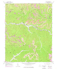
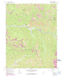
Editions of this 1965 Dorothy Map
3 editions found
Other maps of this area

1891 · Oceana
USGS Topo · 1:125,000

1891 · Raleigh
USGS Topo · 1:125,000

1893 · Oceana
USGS Topo · 1:125,000

1897 · Kanawha Falls
USGS Topo · 1:125,000

1897 · Raleigh
USGS Topo · 1:125,000

1898 · Oceana
USGS Topo · 1:125,000

1899 · Charleston
USGS Topo · 1:125,000

1900 · Kanawha Falls
USGS Topo · 1:125,000

1901 · Kanawha Falls
USGS Topo · 1:125,000

1902 · Raleigh
USGS Topo · 1:125,000