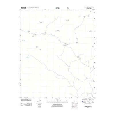
2011 Map of Dorsey Ranch
USGS Topo · Published 2011About this map
Dorsey Ranch and Dorsey Camp anchor this landscape of the high New Mexico desert, where seasonal water sources and rugged topography define the settlement patterns of Grant County. The area is marked by a complex network of drainage systems, including Bear Creek which winds through numerous named corridors such as Slick Rock Canyon and Steamboat Canyon. The reliance on local water management is evident through the presence of features like Redding Mesa Dam and various stock tanks, including Mikes Tank and Taylor Tank.
Find a feature on this map
31 named features on this map. Tap any name to fly to it.
Don’t see what you’re looking for? This feature index may not catch every label — zoom into the map to look around manually.
Map Details
Editions of this 2011 Dorsey Ranch Map
This is the sole edition of this map. No revisions or reprints were ever made.
Other maps of this area
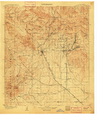
1909 · Silver City
USGS Topo · 1:125,000
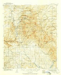
1910 · Mogollon
USGS Topo · 1:125,000
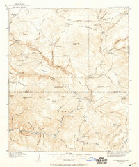
1911 · Alum Mountain
USGS Topo · 1:125,000
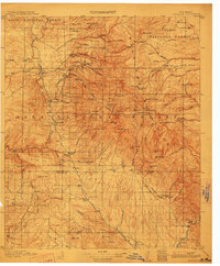
1912 · Mogollon
USGS Topo · 1:125,000
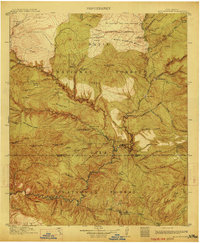
1913 · Alum Mountain
USGS Topo · 1:125,000
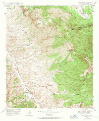
1949 · Circle Mesa
USGS Topo · 1:24,000
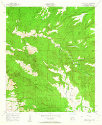
1950 · Dorsey Ranch
USGS Topo · 1:24,000
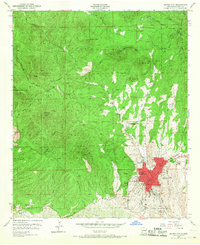
1950 · Silver City
USGS Topo · 1:24,000
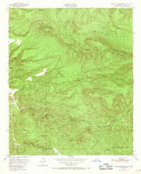
1950 · Reading Mountain
USGS Topo · 1:24,000
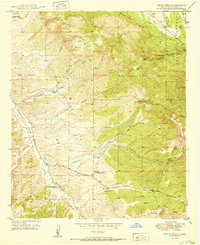
1951 · Circle Mesa
USGS Topo · 1:24,000