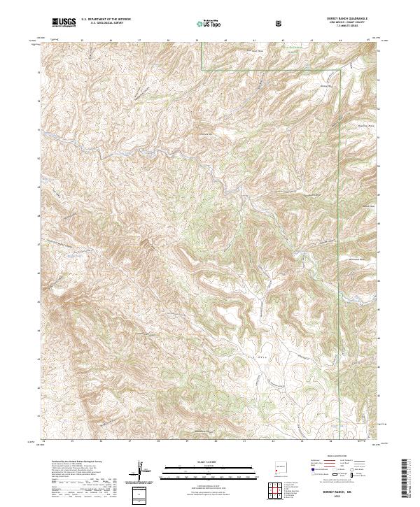
2023 Map of Dorsey Ranch
USGS Topo · Published 2023About this map
The Gila National Forest encompasses the high country of Grant County on this 2023 survey, defined by a complex network of canyons and flat-topped mesas. The landscape is marked by the course of Bear Creek and a significant system of draws and canyons, including Blacksmith Canyon, Steamboat Canyon, and North Fork Walnut Canyon. Human presence is evidenced primarily through ranching infrastructure and forest management, with numerous named water sources scattered across the dry terrain, such as Taylor Tank, Medina Tank, and Dorsey Spring.
Find a feature on this map
46 named features on this map. Tap any name to fly to it.
Don’t see what you’re looking for? This feature index may not catch every label — zoom into the map to look around manually.
Map Details
Editions of this 2023 Dorsey Ranch Map
This is the sole edition of this map. No revisions or reprints were ever made.
Other maps of this area

1909 · Silver City
USGS Topo · 1:125,000

1910 · Mogollon
USGS Topo · 1:125,000

1911 · Alum Mountain
USGS Topo · 1:125,000

1912 · Mogollon
USGS Topo · 1:125,000

1913 · Alum Mountain
USGS Topo · 1:125,000

1949 · Circle Mesa
USGS Topo · 1:24,000

1950 · Dorsey Ranch
USGS Topo · 1:24,000

1950 · Silver City
USGS Topo · 1:24,000

1950 · Reading Mountain
USGS Topo · 1:24,000

1951 · Circle Mesa
USGS Topo · 1:24,000