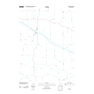
2013 Map of Douds
USGS Topo · Published 2013About this map
Douds and Leando sit as twin settlements on opposite banks of the Des Moines River, connected by a bridge at the junction of Front St and Walnut St. This river-oriented landscape in Van Buren County is defined by the winding course of the Des Moines and its various tributaries, including Chequest Cr and Holcomb Cr. The layout of the small villages against the broad river valley illustrates a classic midwestern river-town pattern, where local commerce was historically tied to the water.
Find a feature on this map
52 named features on this map. Tap any name to fly to it.
Don’t see what you’re looking for? This feature index may not catch every label — zoom into the map to look around manually.
Map Details
Editions of this 2013 Douds Map
This is the sole edition of this map. No revisions or reprints were ever made.
Other maps of this area

1954 · Centerville
USGS Topo · 1:250,000

1957 · Centerville
USGS Topo · 1:250,000

1958 · Centerville
USGS Topo · 1:250,000

1958 · Burlington
USGS Topo · 1:250,000

1961 · Burlington
USGS Topo · 1:250,000

1963 · Burlington
USGS Topo · 1:250,000
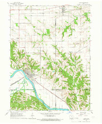
1965 · Eldon
USGS Topo · 1:24,000

1965 · Selma
USGS Topo · 1:24,000
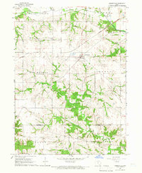
1965 · Libertyville
USGS Topo · 1:24,000

1965 · Douds
USGS Topo · 1:24,000