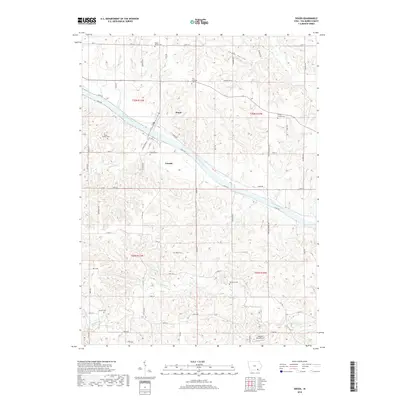
2018 Map of Douds
USGS Topo · Published 2018About this map
Des Moines River bisects this Van Buren County landscape, defining the twin communities of Douds and Leando which sit on opposing banks. The map reveals a deeply etched topography where tributary waters like Lick Cr and Chequest Cr have carved numerous drainages, such as Spahn Hollow, into the surrounding uplands. This 2018 survey serves as a modern record of rural settlement patterns and local lineage. A significant concentration of family and community burial sites, including the Boyer Family Cem, Roush Cem, and Valentine Cem, are scattered throughout the townships, providing essential geographic markers for genealogical research. Aviation history is represented by the Oldfield Aero Airport located in the southern portion of the quadrangle, while the primary transit corridors of Co Hwy V64 and Eagle Dr follow the natural curves of the river valley.
Find a feature on this map
62 named features on this map. Tap any name to fly to it.
Don’t see what you’re looking for? This feature index may not catch every label — zoom into the map to look around manually.
Map Details
Editions of this 2018 Douds Map
This is the sole edition of this map. No revisions or reprints were ever made.
Other maps of this area

1954 · Centerville
USGS Topo · 1:250,000

1957 · Centerville
USGS Topo · 1:250,000

1958 · Centerville
USGS Topo · 1:250,000

1958 · Burlington
USGS Topo · 1:250,000

1961 · Burlington
USGS Topo · 1:250,000

1963 · Burlington
USGS Topo · 1:250,000
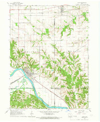
1965 · Eldon
USGS Topo · 1:24,000

1965 · Selma
USGS Topo · 1:24,000
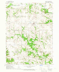
1965 · Libertyville
USGS Topo · 1:24,000

1965 · Douds
USGS Topo · 1:24,000