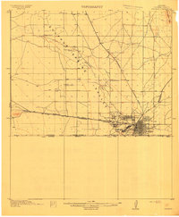
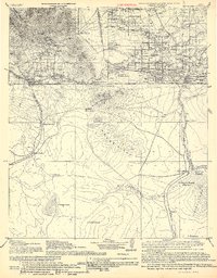
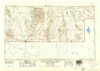
1914 Map of Douglas
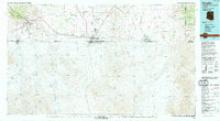
USGS Topo · Published 1914This historical map portrays the area of Douglas in 1914, primarily covering Cochise County. Featuring a scale of 1:62500, this map provides a highly detailed snapshot of the terrain, roads, buildings, counties, and historical landmarks in the Douglas region at the time. Published in 1914, it is one of 4 known editions of this map due to revisions or reprints.
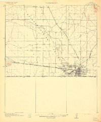
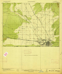
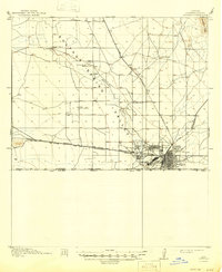
Map Details
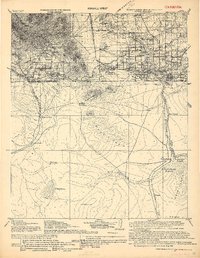
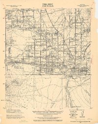
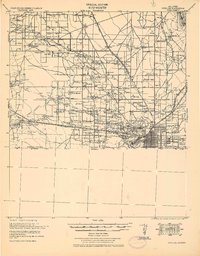
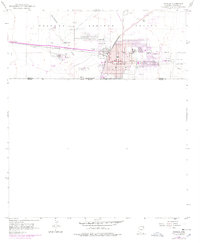
Editions of this 1914 Douglas Map
4 editions found
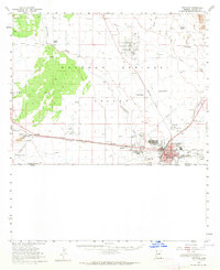
Historical Maps of Paul Spur Through Time
12 maps found
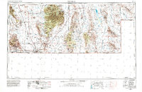
1914 Douglas
Cochise County, AZ
1916 Douglas
Cochise County, AZ
1919 Douglas
Cochise County, AZ
1925 Douglas
Cochise County, AZ
1933 Douglas
Cochise County, AZ
1955 Douglas
Cochise County, AZ
1958 Douglas
Cochise County, AZ
1958 Douglas
Cochise County, AZ
1959 Douglas
Cochise County, AZ

1961 Douglas
Cochise County, AZ

1964 Douglas
Cochise County, AZ
1994 Douglas
Cochise County, AZ