
1959 Map of Douglas
USGS Topo · Published 1968About this map
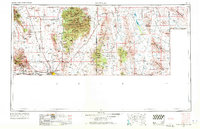
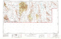
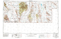
Bisbee and Douglas dominate this landscape during a peak era of copper extraction and cross-border transit along the United States Mexico boundary. The industrial footprint of the Copper Queen Mine and the massive Lavender Pit illustrate the region's mineral dependency, while the Southern Pacific railroad and the Douglas Smelter link these remote desert outposts to global markets. In the valleys between the Chiricahua Mountains and the Animas Mountains, scattered settlements like Paradise, Portal, and Rodeo signify a landscape shaped by both cattle ranching and mining prospecting.
Find a feature on this map
57 named features on this map. Tap any name to fly to it.
Don’t see what you’re looking for? This feature index may not catch every label — zoom into the map to look around manually.
Map Details
Editions of this 1959 Douglas Map
4 editions found
Other maps of this area

1899 · Deming
USGS Topo · 1:125,000

1902 · Bisbee
USGS Topo · 1:62,500

1910 · Bisbee
USGS Topo · 1:62,500

1914 · Hereford
USGS Topo · 1:125,000

1914 · Douglas
USGS Topo · 1:62,500

1915 · Benson
USGS Topo · 1:125,000

1915 · Deming
USGS Topo · 1:125,000

1916 · Pearce
USGS Topo · 1:125,000

1916 · Douglas
USGS Topo · 1:125,000

1917 · Hermanas
USGS Topo · 1:62,500