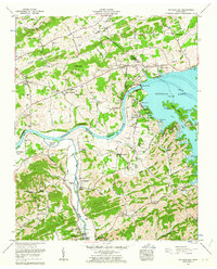
1961 Map of Douglas Dam
USGS Topo · Published 1963About this map
The French Broad River dominates this early 1960s landscape, featuring the engineering of Douglas Dam and its extensive network of protective embankments, including Saddle Dam 1 through Saddle Dam 10. The impoundment of Douglas Lake drastically altered the local geography, yet many traditional land markers remain. Rural life is anchored by family-named sites such as Cook Mill and Dumplin Mill on Dumplin Creek. Genealogists will find a dense concentration of burial grounds, including the Atchley Cem, Saffell Cem, and Union Hill Cem. Settlements like Kodak (PO) and Catlettsburg serve as local hubs, while natural features like Hester Knob and Devils Den provide topographic orientation. The boundary between Jefferson Co and Sevier Co winds through the hills north of the river, marking longstanding community divisions.
Find a feature on this map
72 named features on this map. Tap any name to fly to it.
Don’t see what you’re looking for? This feature index may not catch every label — zoom into the map to look around manually.
Map Details
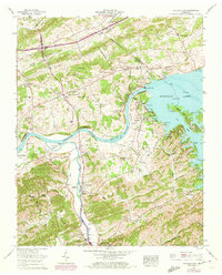
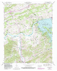
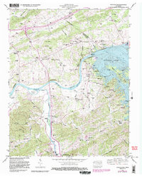
Editions of this 1961 Douglas Dam Map
4 editions found
Other maps of this area

1883 · Morristown
USGS Topo · 1:125,000

1886 · Knoxville
USGS Topo · 1:125,000

1892 · Knoxville
USGS Topo · 1:125,000

1893 · Mt Guyot
USGS Topo · 1:125,000

1893 · Morristown
USGS Topo · 1:125,000

1894 · Knoxville
USGS Topo · 1:125,000

1895 · Morristown
USGS Topo · 1:125,000

1895 · Knoxville
USGS Topo · 1:125,000

1897 · Maynardville
USGS Topo · 1:125,000

1900 · Maynardville
USGS Topo · 1:125,000