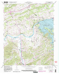
1961 Map of Douglas Dam
USGS Topo · Published 1987About this map
The Douglas Dam and its expansive reservoir, Douglas Lake, dominate this Sevier County landscape, illustrating the mid-century transformation of the French Broad River valley. Before the reservoir's creation, the area was defined by agricultural clusters and river-bound commerce, evidenced by the numerous mills like Dumplin Mill and Cook Mill along Dumplin Creek. These settlements, including Henry Crossroads and the post office at Kodak, served as local hubs for a community connected by a network of family-named cemeteries such as Saffell Cem and Ellis Cem.
Find a feature on this map
88 named features on this map. Tap any name to fly to it.
Don’t see what you’re looking for? This feature index may not catch every label — zoom into the map to look around manually.
Map Details
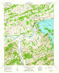
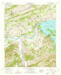
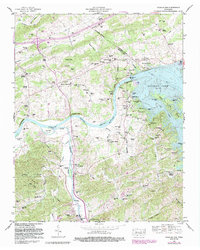
Editions of this 1961 Douglas Dam Map
4 editions found
Other maps of this area

1883 · Morristown
USGS Topo · 1:125,000

1886 · Knoxville
USGS Topo · 1:125,000

1892 · Knoxville
USGS Topo · 1:125,000

1893 · Mt Guyot
USGS Topo · 1:125,000

1893 · Morristown
USGS Topo · 1:125,000

1894 · Knoxville
USGS Topo · 1:125,000

1895 · Morristown
USGS Topo · 1:125,000

1895 · Knoxville
USGS Topo · 1:125,000

1897 · Maynardville
USGS Topo · 1:125,000

1900 · Maynardville
USGS Topo · 1:125,000