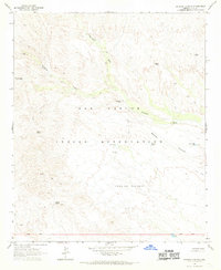
1966 Map of Dourine Canyon
USGS Topo · Published 1969About this map
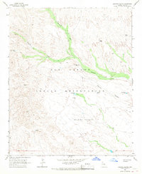
San Carlos Indian Reservation land defines this mid-1960s landscape, characterized by a complex network of seasonal drainages and essential water improvements. The rugged topography is etched by Sevenmile Wash and Champion Creek, which provide the primary drainage for the high desert terrain. The human presence is defined by cattle ranching and resource extraction, evidenced by the Circle Seven Ranch and the Metate Mine.
Find a feature on this map
21 named features on this map. Tap any name to fly to it.
Don’t see what you’re looking for? This feature index may not catch every label — zoom into the map to look around manually.
Map Details
Editions of this 1966 Dourine Canyon Map
2 editions found
Other maps of this area

1922 · Chrysotile
USGS Topo · 1:125,000

1954 · Mesa
USGS Topo · 1:250,000

1957 · Mesa
USGS Topo · 1:250,000

1958 · Mesa
USGS Topo · 1:250,000

1960 · Mesa
USGS Topo · 1:250,000

1964 · Mesa
USGS Topo · 1:250,000

1965 · Bucket Mtn
USGS Topo · 1:24,000

1966 · Natural Corral
USGS Topo · 1:24,000
1966 · Dourine Canyon
USGS Topo · 1:24,000

1966 · Cassadore Spring
USGS Topo · 1:24,000