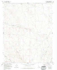
1972 Map of Dove Spring
USGS Topo · Published 1994About this map
Indian Wells Valley provides the backdrop for this desert landscape, where water sources and mineral extraction dictated human movement and settlement. Vital infrastructure is represented by the original Los Angeles Aqueduct and the Second Los Angeles Aqueduct, which cut through the eastern portion of the terrain. These massive water projects stand in contrast to the localized desert springs and canyons that sustained earlier inhabitants and prospectors, including Dove Spring, Bird Spring, and Butterbredt Spring.
Find a feature on this map
22 named features on this map. Tap any name to fly to it.
Don’t see what you’re looking for? This feature index may not catch every label — zoom into the map to look around manually.
Map Details
Editions of this 1972 Dove Spring Map
2 editions found
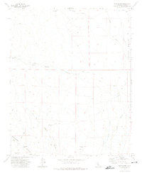
Other maps of this area

1906 · Kernville
USGS Topo · 1:125,000

1908 · Kernville
USGS Topo · 1:125,000

1915 · Searles Lake
USGS Topo · 1:250,000

1915 · Mojave
USGS Topo · 1:125,000

1943 · Inyokern
USGS Topo · 1:62,500

1943 · Cross Mountain
USGS Topo · 1:62,500

1943 · Saltdale
USGS Topo · 1:62,500

1943 · Onyx
USGS Topo · 1:62,500

1947 · Trona
USGS Topo · 1:250,000

1948 · Trona
USGS Topo · 1:250,000