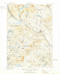
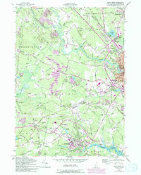
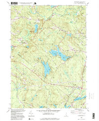
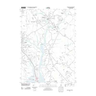
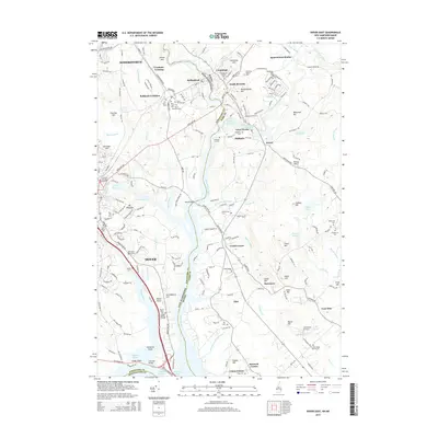
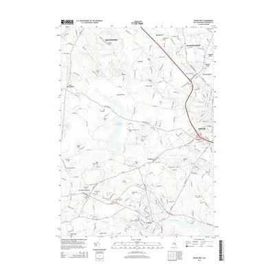
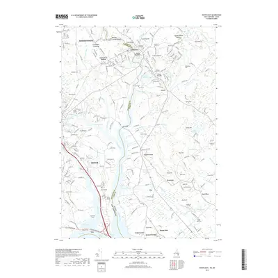
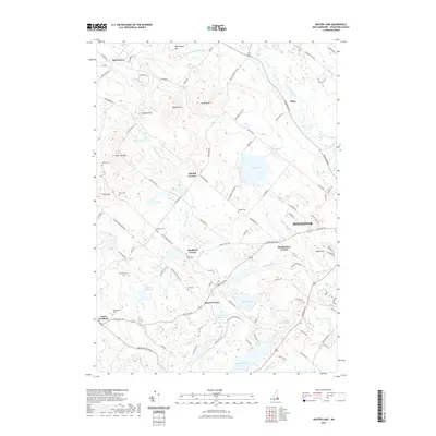
1956 Map of Dover East
USGS Topo · Published 1989About this map
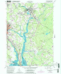
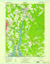
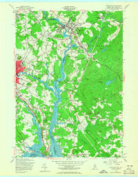
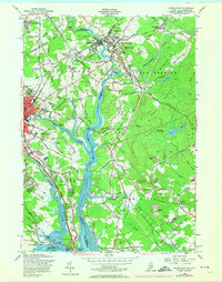
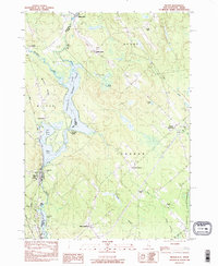
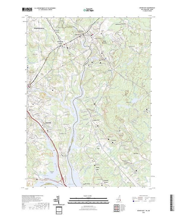
The Salmon Falls River serves as the focal point for this landscape along the Maine and New Hampshire border, where industrial history meets early education at Berwick Academy. This 1956 revision documents the residential and institutional core of Rollinsford and South Berwick, including the St Marys Sch and numerous community burial grounds such as St Patricks Cem and Woodlawn Cem. The map reveals a transition from these established town centers toward the tidal reaches of the Piscataqua River and Little Bay.
Find a feature on this map
116 named features on this map. Tap any name to fly to it.
Don’t see what you’re looking for? This feature index may not catch every label — zoom into the map to look around manually.
Map Details
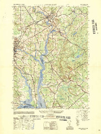
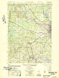
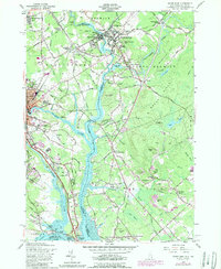
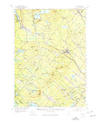
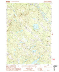
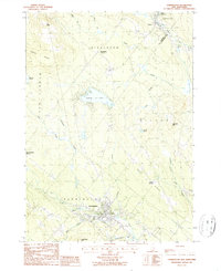
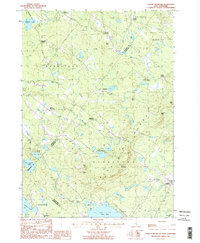
Editions of this 1956 Dover East Map
5 editions found
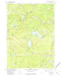
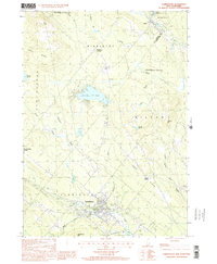
Historical Maps of Dover Through Time
49 maps found
1919 Alton
Strafford County, NH
1950 Dover East
Strafford County, NH
1952 Dover West
Strafford County, NH
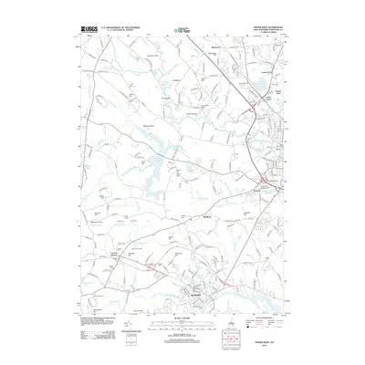
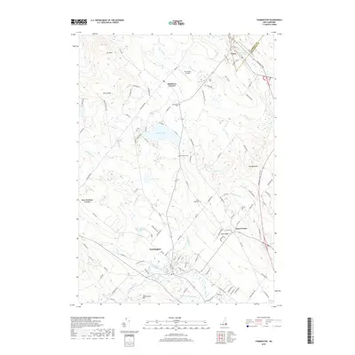
1956 Dover East
Strafford County, NH
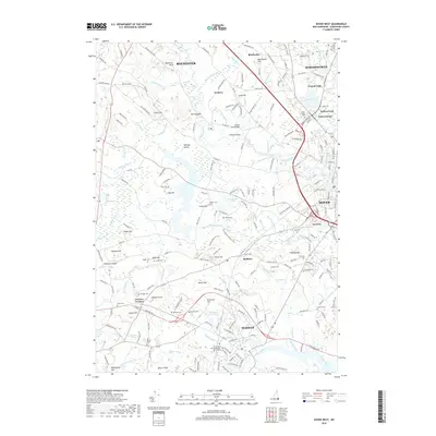
1956 Dover West
Strafford County, NH
1957 Alton
Strafford County, NH
1977 Dover East
Strafford County, NH
1981 Barrington
Strafford County, NH
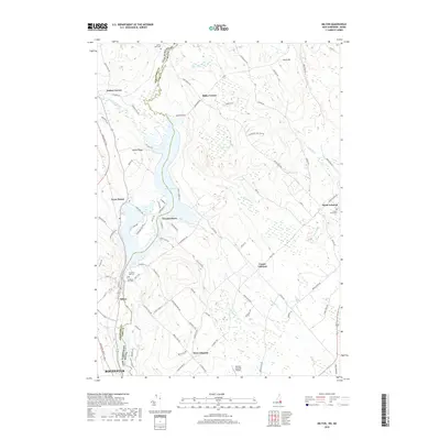
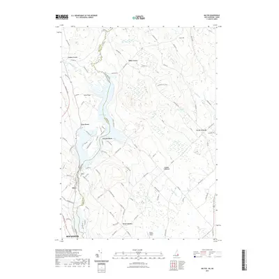
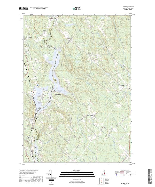
1983 Milton
Strafford County, NH
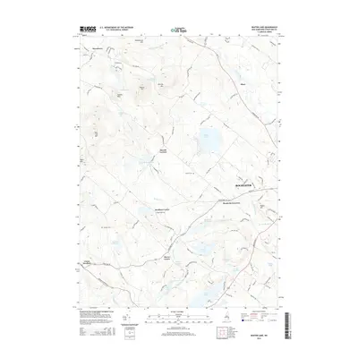
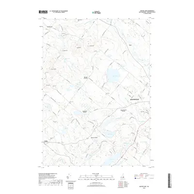
1987 Baxter Lake
Strafford County, NH
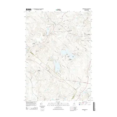
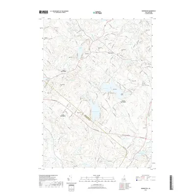
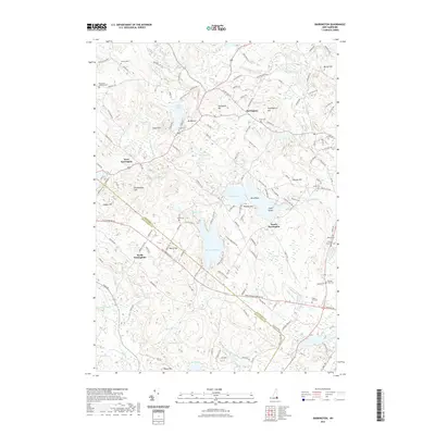
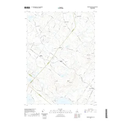
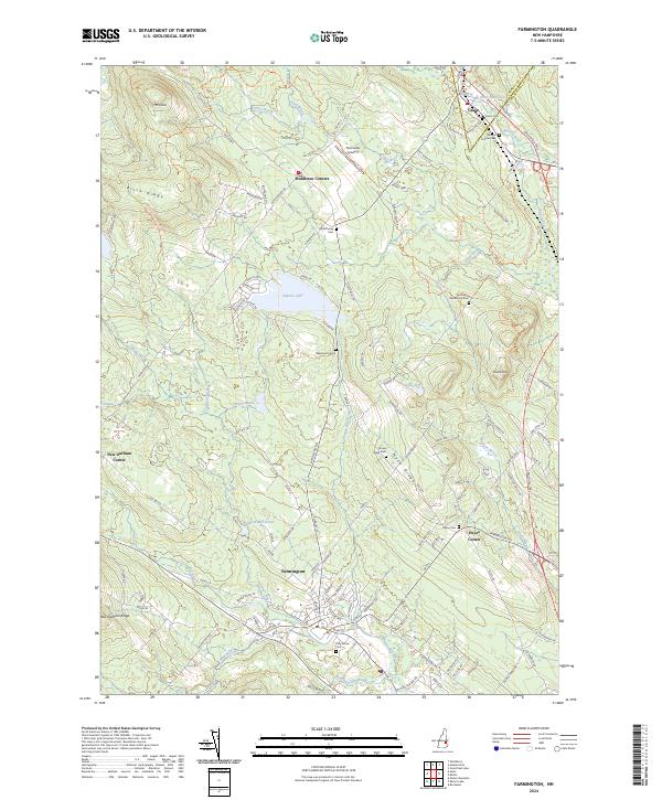
1987 Farmington
Strafford County, NH
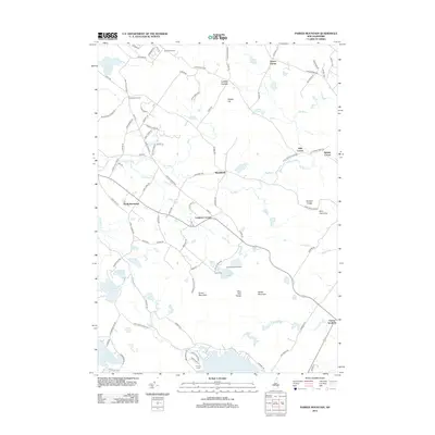
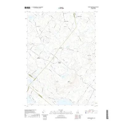
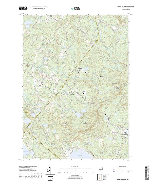
1987 Parker Mountain
Strafford County, NH
1995 Barrington
Strafford County, NH
2000 Farmington
Strafford County, NH
2012 Barrington
Strafford County, NH
2012 Baxter Lake
Strafford County, NH
2012 Dover East
Strafford County, NH
2012 Dover West
Strafford County, NH
2012 Farmington
Strafford County, NH
2012 Milton
Strafford County, NH
2012 Parker Mountain
Strafford County, NH
2015 Barrington
Strafford County, NH
2015 Baxter Lake
Strafford County, NH
2015 Dover East
Strafford County, NH
2015 Dover West
Strafford County, NH
2015 Farmington
Strafford County, NH
2015 Milton
Strafford County, NH
2015 Parker Mountain
Strafford County, NH
2018 Barrington
Strafford County, NH
2018 Baxter Lake
Strafford County, NH
2018 Dover East
Strafford County, NH
2018 Dover West
Strafford County, NH
2018 Farmington
Strafford County, NH
2018 Milton
Strafford County, NH
2018 Parker Mountain
Strafford County, NH
2021 Barrington
Strafford County, NH
2021 Baxter Lake
Strafford County, NH
2021 Dover East
Strafford County, NH
2021 Dover West
Strafford County, NH
2021 Farmington
Strafford County, NH
2021 Milton
Strafford County, NH
2021 Parker Mountain
Strafford County, NH
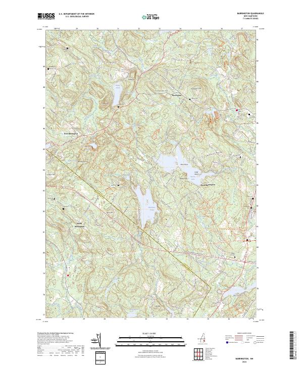
2024 Barrington
Strafford County, NH
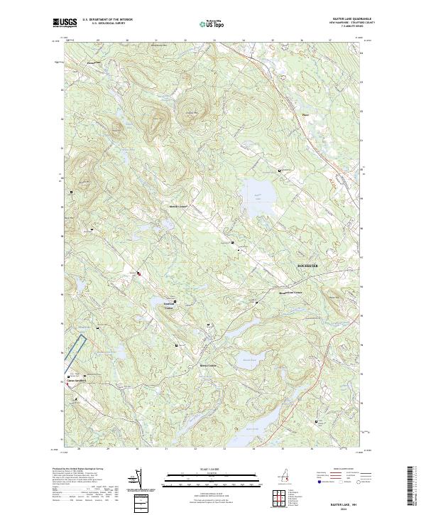
2024 Baxter Lake
Strafford County, NH
2024 Dover East
Strafford County, NH

2024 Dover West
Strafford County, NH
2024 Farmington
Strafford County, NH
2024 Milton
Strafford County, NH
2024 Parker Mountain
Strafford County, NH