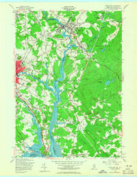
1956 Map of Dover East
USGS Topo · Published 1965About this map
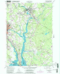
The Salmon Falls River serves as the focal point of this mid-century survey, dividing the border towns of Somersworth, New Hampshire, and South Berwick, Maine. The landscape is defined by its deep-rooted educational and religious institutions, including the campus of Berwick Academy and numerous burial grounds such as St Michaels Cem and the Portland St Cem. These sites, clustered around the industrial heart of Salmon Falls, reflect the growth of these river-side communities during the 1950s.
Find a feature on this map
105 named features on this map. Tap any name to fly to it.
Don’t see what you’re looking for? This feature index may not catch every label — zoom into the map to look around manually.
Map Details
Editions of this 1956 Dover East Map
5 editions found
Other maps of this area

1891 · Berwick
USGS Topo · 1:62,500

1891 · Kennebunk
USGS Topo · 1:62,500

1893 · Kennebunk
USGS Topo · 1:62,500

1893 · Dover
USGS Topo · 1:62,500

1893 · Berwick
USGS Topo · 1:62,500

1893 · York
USGS Topo · 1:62,500

1898 · Kennebunk
USGS Topo · 1:62,500

1916 · Dover
USGS Topo · 1:62,500

1918 · Dover
USGS Topo · 1:62,500

1920 · York
USGS Topo · 1:62,500