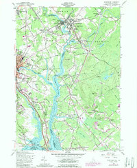
1956 Map of Dover East
USGS Topo · Published 1989About this map
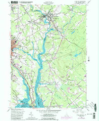
The Salmon Falls River serves as a natural dividing line between Maine and New Hampshire in this mid-century survey, anchoring a region defined by its industrial riverfronts and colonial-era educational foundations. In South Berwick, the prestigious Berwick Academy stands near the confluence of the Salmon Falls River and the Great Works River, highlighting the area's long-standing academic character. To the west, the city of Dover shows a dense network of neighborhoods and cemeteries, including Pine Hill Cemetery and the New St Marys Cemetery.
Find a feature on this map
106 named features on this map. Tap any name to fly to it.
Don’t see what you’re looking for? This feature index may not catch every label — zoom into the map to look around manually.
Map Details
Editions of this 1956 Dover East Map
5 editions found
Other maps of this area

1891 · Berwick
USGS Topo · 1:62,500

1891 · Kennebunk
USGS Topo · 1:62,500

1893 · Kennebunk
USGS Topo · 1:62,500

1893 · Dover
USGS Topo · 1:62,500

1893 · Berwick
USGS Topo · 1:62,500

1893 · York
USGS Topo · 1:62,500

1898 · Kennebunk
USGS Topo · 1:62,500

1916 · Dover
USGS Topo · 1:62,500

1918 · Dover
USGS Topo · 1:62,500

1920 · York
USGS Topo · 1:62,500