2024 Map of Dover
USGS Topo · Published 2024About this map
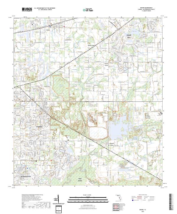
The Alafia River and Turkey Creek anchor this modern topographical study of eastern Hillsborough County, illustrating the dense suburban expansion and agricultural remnants of the region. Localities like Bloomingdale and Fish Hawk are depicted with their contemporary road networks, while older settlements like Dover and Sydney remain tied to the Csx rail corridor. Genealogists can find several key burial sites across the landscape, including the First Baptist Church of Dover Cem and Hopewell Baptist Church Cem.
Find a feature on this map
269 named features on this map. Tap any name to fly to it.
Don’t see what you’re looking for? This feature index may not catch every label — zoom into the map to look around manually.
Map Details
Editions of this 2024 Dover Map
This is the sole edition of this map. No revisions or reprints were ever made.