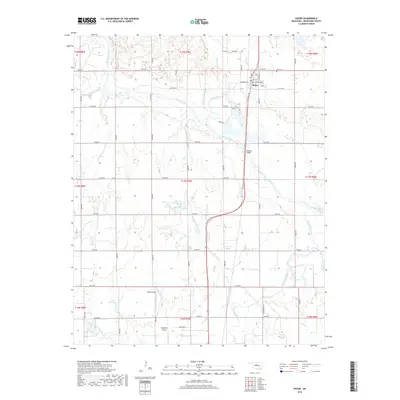
2018 Map of Dover
USGS Topo · Published 2018About this map
The Cimarron River meanders across this Kingfisher County landscape, defining the character of the region just north of the town of Dover. The settlement's residential grid, located along the S Chisholm Trl, sits at a critical junction where transportation routes have long navigated the river's broad floodplains. Just south of the town, the Boecher Bridge provides a vital crossing over the Cimarron, while the surrounding territory is marked by the drainages of Turkey Creek, Treaty Cr, and Kingfisher Creek. Aviation history is visible in the presence of both White Airport and Kingfisher Airport, serving the local ranching and agricultural interests. Genealogists may find interest in the Dover Cem located at the northeast edge of town, while the section-line roads like E0730 Rd and N2830 Rd illustrate the enduring impact of the Public Land Survey System on Oklahoma's rural geography.
Find a feature on this map
51 named features on this map. Tap any name to fly to it.
Don’t see what you’re looking for? This feature index may not catch every label — zoom into the map to look around manually.
Map Details
Editions of this 2018 Dover Map
This is the sole edition of this map. No revisions or reprints were ever made.
Other maps of this area

1892 · Kingfisher
USGS Topo · 1:125,000

1893 · Hennessey
USGS Topo · 1:62,500

1893 · Loyal
USGS Topo · 1:62,500

1893 · Ames
USGS Topo · 1:62,500

1895 · Kingfisher
USGS Topo · 1:125,000

1954 · Oklahoma City
USGS Topo · 1:250,000

1955 · Clinton
USGS Topo · 1:250,000

1955 · Enid
USGS Topo · 1:250,000

1955 · Woodward
USGS Topo · 1:250,000

1956 · Ames
USGS Topo · 1:62,500