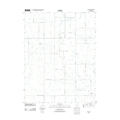
2012 Map of Dover
USGS Topo · Published 2012About this map
Dover serves as the focal point for this rural Kansas landscape, where the local Po and Dover Cem mark the center of the community's civic life. The terrain is defined by a dense network of waterways, including the winding Wakarusa River in the south and the northern flow of Mission Cr. This 2012 survey illustrates how the area's agricultural heritage persists through a grid of section roads like SW Crawford Rd and SW Carlson Rd, which connect outlying landmarks such as the Highland School and Saint Bartholomew Cem.
Find a feature on this map
36 named features on this map. Tap any name to fly to it.
Don’t see what you’re looking for? This feature index may not catch every label — zoom into the map to look around manually.
Map Details
Editions of this 2012 Dover Map
This is the sole edition of this map. No revisions or reprints were ever made.
Other maps of this area

1885 · Eskridge
USGS Topo · 1:125,000

1889 · Burlingame
USGS Topo · 1:125,000

1889 · Wamego
USGS Topo · 1:125,000

1889 · Eskridge
USGS Topo · 1:125,000

1889 · Topeka
USGS Topo · 1:125,000

1894 · Eskridge
USGS Topo · 1:125,000

1894 · Burlingame
USGS Topo · 1:125,000

1894 · Topeka
USGS Topo · 1:125,000

1894 · Wamego
USGS Topo · 1:125,000

1947 · Lawrence
USGS Topo · 1:250,000