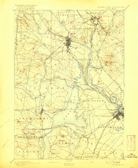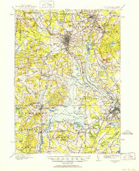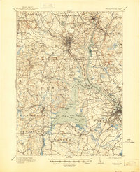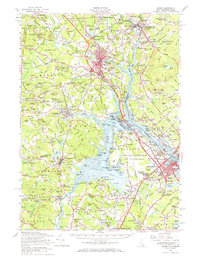
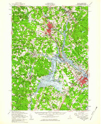
1956 Map of Dover
USGS Topo · Published 1970About this map
The Piscataqua River and its numerous tidal branches form the geographic heart of this mid-century New Hampshire and Maine coastal region. Centered on the industrial and residential hub of Dover, the map reveals a landscape undergoing significant post-war change, most notably the sprawling presence of the Pease Air Force Base and its adjacent U S Military Reservation near Newington. This military expansion is mirrored by suburban developments like Pannaway Manor and Wentworth Acres, which contrast with the older, established centers of Durham, Newmarket, and South Berwick.
Find a feature on this map
231 named features on this map. Tap any name to fly to it.
Don’t see what you’re looking for? This feature index may not catch every label — zoom into the map to look around manually.
Map Details
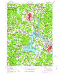
Editions of this 1956 Dover Map
4 editions found

Historical Maps of Dover Through Time
5 maps found