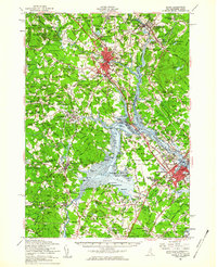
1956 Map of Dover
USGS Topo · Published 1960About this map
The confluence of the Salmon Falls River and Cocheco River defines the industrial heart of this mid-century landscape, centered on the mill towns of Dover and Somersworth. By the mid-1950s, the region was undergoing a significant transition from its rail-dependent roots toward modern automotive and defense infrastructure. The emerging Spaulding Turnpike and New Hampshire Turnpike cut through traditional farmlands, while the massive footprint of the Pease Air Force Base on the Piscataqua River indicates the Cold War-era expansion of military installations in the Seacoast region.
Find a feature on this map
115 named features on this map. Tap any name to fly to it.
Don’t see what you’re looking for? This feature index may not catch every label — zoom into the map to look around manually.
Map Details
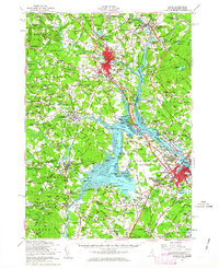
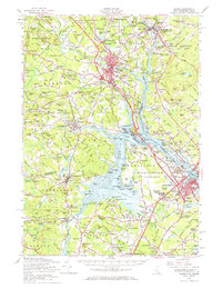
Editions of this 1956 Dover Map
4 editions found

Other maps of this area

1888 · Newburyport
USGS Topo · 1:62,500

1888 · Haverhill
USGS Topo · 1:62,500

1890 · Haverhill
USGS Topo · 1:62,500

1890 · Newburyport
USGS Topo · 1:62,500

1891 · Berwick
USGS Topo · 1:62,500

1891 · Kennebunk
USGS Topo · 1:62,500

1893 · Kennebunk
USGS Topo · 1:62,500

1893 · Dover
USGS Topo · 1:62,500

1893 · Berwick
USGS Topo · 1:62,500

1893 · York
USGS Topo · 1:62,500