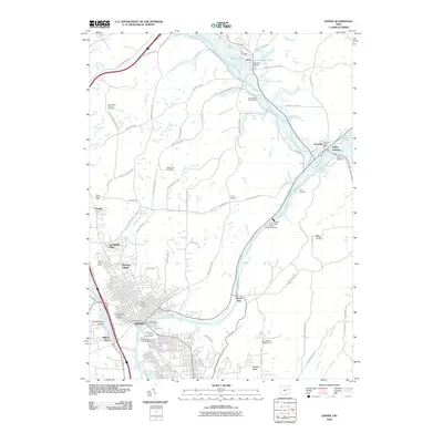
2010 Map of Dover
USGS Topo · Published 2010About this map
The Tuscarawas River and the historic Towpath Trail anchor this 2010 survey of the corridor between Dover and the preserved village of Zoar. The landscape reflects a mix of civic infrastructure and heritage, evidenced by the Tuscarawas County Fairgrounds and the Tuscarawas County Childrens Home in the south, while the northern reaches maintain a rural character around Valley Junction and Zoarville.
Find a feature on this map
79 named features on this map. Tap any name to fly to it.
Don’t see what you’re looking for? This feature index may not catch every label — zoom into the map to look around manually.
Map Details
Editions of this 2010 Dover Map
This is the sole edition of this map. No revisions or reprints were ever made.
Other maps of this area

1909 · Uhrichsville
USGS Topo · 1:62,500

1911 · Uhrichsville
USGS Topo · 1:62,500

1911 · Newcomerstown
USGS Topo · 1:62,500

1912 · Dover
USGS Topo · 1:62,500

1913 · Newcomerstown
USGS Topo · 1:62,500

1914 · Navarre
USGS Topo · 1:62,500

1943 · Newcomerstown
USGS Topo · 1:62,500

1944 · Navarre
USGS Topo · 1:62,500

1944 · Dover
USGS Topo · 1:62,500

1951 · Canton
USGS Topo · 1:250,000