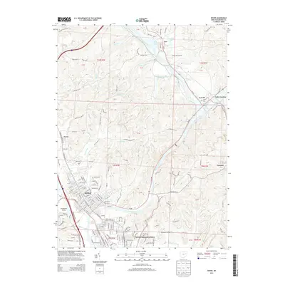
2013 Map of Dover
USGS Topo · Published 2013About this map
The Tuscarawas River carves a deep valley through this portion of Tuscarawas County, serving as the primary corridor for regional development and transport. The city of Dover and the northern edge of New Philadelphia anchor the southern portion of the map, showing a dense grid of streets and industrial proximity to Sugar Creek. Moving north, the landscape transitions to the specialized communal history of Zoar, founded by Separatists in the early 19th century, which remains a distinct pocket of settlement near Zoar Lake.
Find a feature on this map
159 named features on this map. Tap any name to fly to it.
Don’t see what you’re looking for? This feature index may not catch every label — zoom into the map to look around manually.
Map Details
Editions of this 2013 Dover Map
This is the sole edition of this map. No revisions or reprints were ever made.
Other maps of this area

1909 · Uhrichsville
USGS Topo · 1:62,500

1911 · Uhrichsville
USGS Topo · 1:62,500

1911 · Newcomerstown
USGS Topo · 1:62,500

1912 · Dover
USGS Topo · 1:62,500

1913 · Newcomerstown
USGS Topo · 1:62,500

1914 · Navarre
USGS Topo · 1:62,500

1943 · Newcomerstown
USGS Topo · 1:62,500

1944 · Navarre
USGS Topo · 1:62,500

1944 · Dover
USGS Topo · 1:62,500

1951 · Canton
USGS Topo · 1:250,000