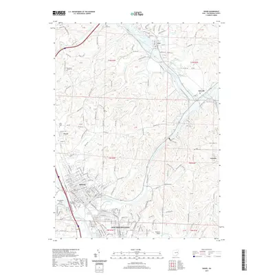
2019 Map of Dover
USGS Topo · Published 2019About this map
The Tuscarawas River valley serves as the central artery for this part of eastern Ohio, where the industrial and agricultural heritage of Dover and New Philadelphia meet. The landscape is marked by a high density of small-scale burial grounds, including the Saint Peters Catholic Cem and Ruslin Hill Cem, which offer significant value for genealogists tracking early families in the region. North of the larger urban centers, the village of Zoar sits near the river, while Zoarville and the smaller settlement of Johnston reflect the rural township patterns of the era.
Find a feature on this map
145 named features on this map. Tap any name to fly to it.
Don’t see what you’re looking for? This feature index may not catch every label — zoom into the map to look around manually.
Map Details
Editions of this 2019 Dover Map
This is the sole edition of this map. No revisions or reprints were ever made.
Other maps of this area

1909 · Uhrichsville
USGS Topo · 1:62,500

1911 · Uhrichsville
USGS Topo · 1:62,500

1911 · Newcomerstown
USGS Topo · 1:62,500

1912 · Dover
USGS Topo · 1:62,500

1913 · Newcomerstown
USGS Topo · 1:62,500

1914 · Navarre
USGS Topo · 1:62,500

1943 · Newcomerstown
USGS Topo · 1:62,500

1944 · Navarre
USGS Topo · 1:62,500

1944 · Dover
USGS Topo · 1:62,500

1951 · Canton
USGS Topo · 1:250,000