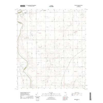
2018 Map of Dowling Park
USGS Topo · Published 2018About this map
The Suwannee River carves a winding path along the western boundary of this North Florida landscape, marking the border between Suwannee and Lafayette counties. The area is defined by its karst topography, evidenced by a dense concentration of named springs including Baptizing Spring, Orange Grove Spring, and Allen Mill Pond Spring. These hydrological features are central to the local geography, many of which feed directly into the river system.
Find a feature on this map
32 named features on this map. Tap any name to fly to it.
Don’t see what you’re looking for? This feature index may not catch every label — zoom into the map to look around manually.
Map Details
Editions of this 2018 Dowling Park Map
This is the sole edition of this map. No revisions or reprints were ever made.
Other maps of this area

1954 · Day SE
USGS Topo · 1:24,000

1954 · Day
USGS Topo · 1:24,000

1954 · Dowling Park
USGS Topo · 1:24,000

1954 · Valdosta
USGS Topo · 1:250,000

1955 · Mayo NE
USGS Topo · 1:24,000

1955 · Mayo
USGS Topo · 1:24,000

1955 · Mayo SE
USGS Topo · 1:24,000

1958 · Valdosta
USGS Topo · 1:250,000

1958 · Madison SE
USGS Topo · 1:24,000

1959 · Valdosta
USGS Topo · 1:250,000