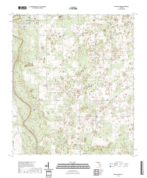
2024 Map of Dowling Park
USGS Topo · Published 2024About this map
The Suwannee River carves a deep, winding boundary along the western edge of this landscape, defining the rural character of both Suwannee and Lafayette counties. The area is anchored by the settlement of Dowling Park in the northwest, a community with deep roots evidenced by the Dowling Park Church of God Cem and the nearby Bixler Memorial Gardens East. The interior terrain is a quiet expanse of woods and agriculture, punctuated by numerous freshwater springs such as Charles Spring, Thomas Spring, and Blue Springs that feed the river system.
Find a feature on this map
83 named features on this map. Tap any name to fly to it.
Don’t see what you’re looking for? This feature index may not catch every label — zoom into the map to look around manually.
Map Details
Editions of this 2024 Dowling Park Map
This is the sole edition of this map. No revisions or reprints were ever made.
Other maps of this area

1954 · Day SE
USGS Topo · 1:24,000

1954 · Day
USGS Topo · 1:24,000

1954 · Dowling Park
USGS Topo · 1:24,000

1954 · Valdosta
USGS Topo · 1:250,000

1955 · Mayo NE
USGS Topo · 1:24,000

1955 · Mayo
USGS Topo · 1:24,000

1955 · Mayo SE
USGS Topo · 1:24,000

1958 · Valdosta
USGS Topo · 1:250,000

1958 · Madison SE
USGS Topo · 1:24,000

1959 · Valdosta
USGS Topo · 1:250,000