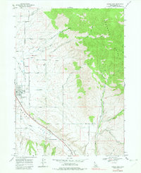
1968 Map of Downey East
USGS Topo · Published 1982About this map
Downata Hot Springs and the surrounding irrigation-fed agriculture of Marsh Valley anchor this 1960s landscape in Bannock County. The western portion of the sheet is defined by the concentrated settlement of Downey and the smaller community of Cambridge, connected by the Union Pacific railroad corridor. This transportation spine follows the course of Marsh Creek, where family histories are preserved at the Downey Cem, Marsh Valley Cem, and Grant Ward Cem. To the east, the terrain rises sharply into the Portneuf Range, where numerous seasonal drainages like Ninemile Creek and Brush Creek cut through the high ground. The map reflects a mid-century rural economy where small aviation facilities like Hyde Airport and local industries such as a Gravel Pit and Borrow Pit operate alongside established ranching and homesteading roads.
Find a feature on this map
44 named features on this map. Tap any name to fly to it.
Don’t see what you’re looking for? This feature index may not catch every label — zoom into the map to look around manually.
Map Details
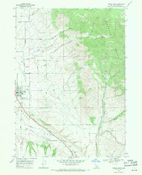
Editions of this 1968 Downey East Map
2 editions found
Other maps of this area

1915 · Preston
USGS Topo · 1:96,000

1918 · Preston
USGS Topo · 1:125,000

1948 · Bancroft
USGS Topo · 1:62,500

1949 · Bancroft
USGS Topo · 1:62,500

1954 · Pocatello
USGS Topo · 1:250,000

1955 · Preston
USGS Topo · 1:250,000

1958 · Pocatello
USGS Topo · 1:250,000

1958 · Preston
USGS Topo · 1:250,000

1962 · Preston
USGS Topo · 1:250,000

1968 · Malad Summit
USGS Topo · 1:24,000