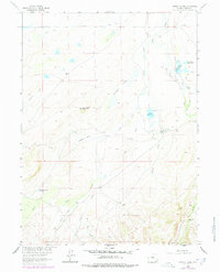
1963 Map of Downey Lakes
USGS Topo · Published 1978About this map
High-altitude ranching and water management define this Wyoming landscape, where the Colorado State Line marks the southern boundary. The high plains and foothills of Albany County are etched with irrigation works such as the Old King Ditch, Davis Brothers Ditch No 1, and an aqueduct, revealing the effort required to support livestock at these elevations. Several prominent family operations are documented, including the Hunzicker Ranch, Goetz Ranch, and Spring Creek Ranch. These outposts are situated near vital water sources like Rice Reservoir and the Downey Lakes. The terrain is punctuated by distinctive geological landmarks, most notably the prominent Steamboat Rock near Steamboat Lake and Chimney Rock to the southeast. Water flows through a network of seasonal and permanent channels, including Sand Creek and Shell Creek, which drain toward the lower basins.
Find a feature on this map
25 named features on this map. Tap any name to fly to it.
Don’t see what you’re looking for? This feature index may not catch every label — zoom into the map to look around manually.
Map Details
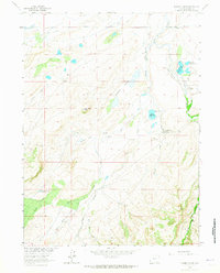
Editions of this 1963 Downey Lakes Map
2 editions found
Other maps of this area

1895 · Laramie
USGS Topo · 1:125,000

1902 · Laramie
USGS Topo · 1:125,000

1905 · Laramie
USGS Topo · 1:125,000

1906 · Laramie
USGS Topo · 1:125,000

1908 · Laramie
USGS Topo · 1:125,000

1916 · Home
USGS Topo · 1:125,000

1920 · Home
USGS Topo · 1:125,000

1954 · Cheyenne
USGS Topo · 1:250,000

1954 · Greeley
USGS Topo · 1:250,000

1957 · Greeley
USGS Topo · 1:250,000