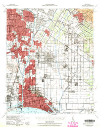
1943 Map of Downey
USGS Topo · Published 1963About this map
Signal Hill and the expanding urban footprint of Long Beach dominate the southern portion of this wartime Los Angeles Basin survey. The landscape is defined by the rigid grid of the Imperial Highway and Firestone Blvd, yet it still retains pockets of unbuilt terrain and agricultural lands in areas like La Mirada and Cerritos. The complex industrial and transit-heavy nature of the region is evident through the convergence of major rail lines, including the Pacific Electric and Southern Pacific, which linked the many industrial hubs and residential centers of the mid-20th century.
Find a feature on this map
63 named features on this map. Tap any name to fly to it.
Don’t see what you’re looking for? This feature index may not catch every label — zoom into the map to look around manually.
Map Details
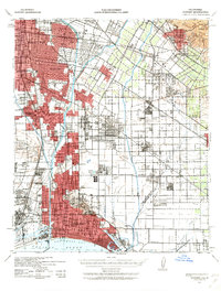
Editions of this 1943 Downey Map
2 editions found
Other maps of this area

1894 · Los Angeles
USGS Topo · 1:62,500

1894 · Pomona
USGS Topo · 1:62,500

1896 · Santa Ana
USGS Topo · 1:62,500

1896 · Pasadena
USGS Topo · 1:62,500

1896 · Anaheim
USGS Topo · 1:62,500

1896 · Redondo
USGS Topo · 1:62,500

1896 · Las Bolsas
USGS Topo · 1:62,500

1896 · Santa Monica
USGS Topo · 1:62,500

1896 · San Pedro
USGS Topo · 1:62,500

1896 · Downey
USGS Topo · 1:62,500