2024 Map of Downsville South
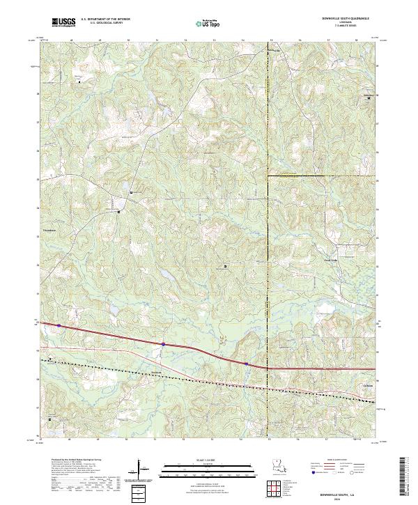
USGS Topo · Published 2024About this map
Lincoln Parish and Ouachita Parish boundaries converge in this northern Louisiana landscape where the interstate and rail corridors cut through an intricate network of waterways. Small settlements and crossroads like Tremont and Frost Town anchor the local geography, while the terrain is defined by the branching paths of Bayou Choudrant and South Choudrant Creek. The map reveals a dense distribution of rural burial grounds, including Sibley Cem, Macedonia Cem, and Mount Sinai Cem, which serve as vital landmarks for tracing the area's genealogical roots.
Find a feature on this map
85 named features on this map. Tap any name to fly to it.
Don’t see what you’re looking for? This feature index may not catch every label — zoom into the map to look around manually.
Map Details
Editions of this 2024 Downsville South Map
This is the sole edition of this map. No revisions or reprints were ever made.
Historical Maps of Pleasant Valley Through Time
13 maps found
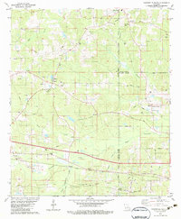
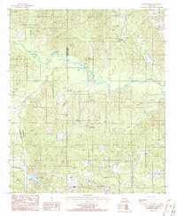
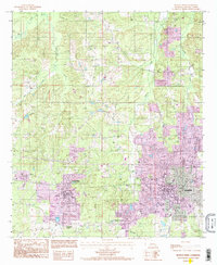
1982 Downsville South
Lincoln Parish, LA
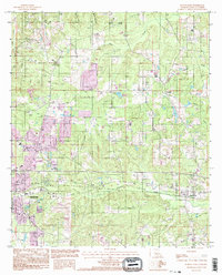
1985 Cedarton
Lincoln Parish, LA
1985 Ruston East
Lincoln Parish, LA
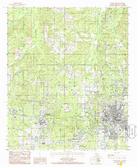
1985 Ruston West
Lincoln Parish, LA
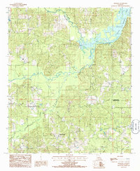
1986 Lake Foursome
Lincoln Parish, LA
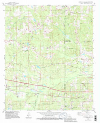
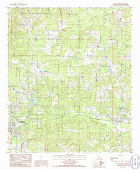
1994 Downsville South
Lincoln Parish, LA
1994 Ruston East
Lincoln Parish, LA
1994 Ruston West
Lincoln Parish, LA
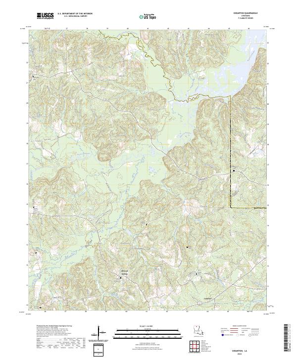
2024 Cedarton
Lincoln Parish, LA
2024 Downsville South
Lincoln Parish, LA
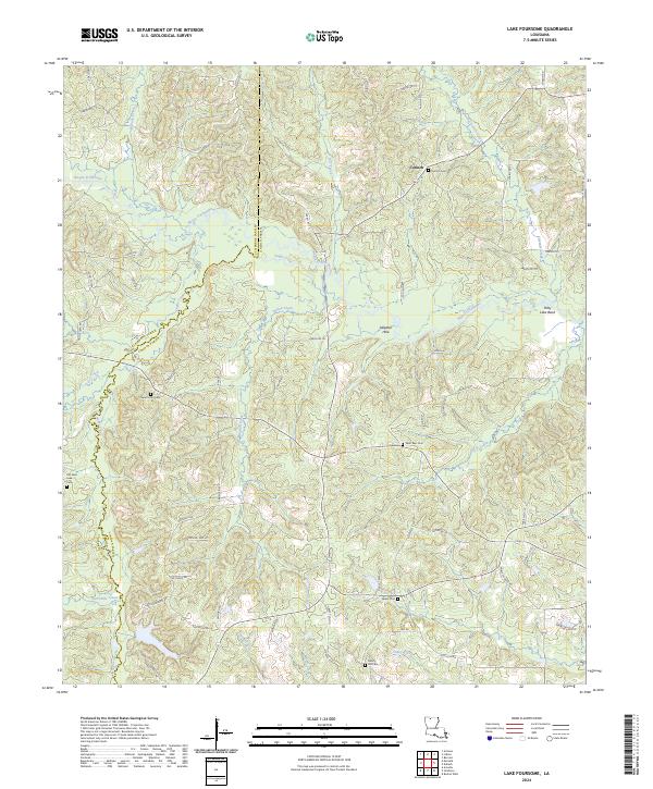
2024 Lake Foursome
Lincoln Parish, LA
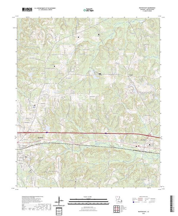
2024 Ruston East
Lincoln Parish, LA
2024 Ruston West
Lincoln Parish, LA