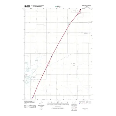
2010 Map of Dows East
USGS Topo · Published 2010About this map
The Iowa River winds through the southwestern corner of this agricultural landscape, providing a natural boundary for the settlement of Dows. This 2010 survey illustrates a region defined by a precise section-line road grid, with cardinal-direction avenues like Wright Ave and Grouse Ave framing the township's rural character. A significant diagonal corridor, Interstate 35, cuts across the map, creating a modern contrast to the established patchwork of farms and local roads.
Find a feature on this map
27 named features on this map. Tap any name to fly to it.
Don’t see what you’re looking for? This feature index may not catch every label — zoom into the map to look around manually.
Map Details
Editions of this 2010 Dows East Map
This is the sole edition of this map. No revisions or reprints were ever made.
Other maps of this area

1954 · Waterloo
USGS Topo · 1:250,000

1955 · Waterloo
USGS Topo · 1:250,000

1972 · Alexander
USGS Topo · 1:24,000

1972 · Belmond
USGS Topo · 1:24,000

1972 · Latimer
USGS Topo · 1:24,000

1978 · Sheldon Creek
USGS Topo · 1:24,000

1978 · Dows West
USGS Topo · 1:24,000

1979 · Dows East
USGS Topo · 1:24,000

1979 · Coulter
USGS Topo · 1:24,000

1979 · Iowa Falls West
USGS Topo · 1:24,000