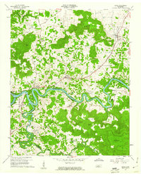
1960 Map of Doyle
USGS Topo · Published 1961About this map
Caney Fork and its tributary, the Rocky River, wind through a landscape defined by the borders of White, Van Buren, and Warren counties during the early 1960s. The Great Falls Lake reservoir fills the meandering river valley, marking a transition in the local hydrology near Rock Island. The community of Doyle sits along the Louisville and Nashville railroad, which serves as a primary transportation artery through Quebeck and Walling. Local life is anchored by numerous small landmarks, including the Quebeck Sch and country churches such as Gum Spring Ch and Mt Pisgah Ch. The terrain is punctuated by distinctive karst features, most notably Bone Cave and several others such as Indian Cave and McElroy Cave, while higher elevations are marked by Gum Spring Mountain and Hickory Nut Mountain.
Find a feature on this map
60 named features on this map. Tap any name to fly to it.
Don’t see what you’re looking for? This feature index may not catch every label — zoom into the map to look around manually.
Map Details
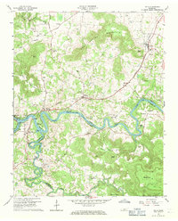
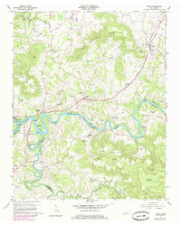
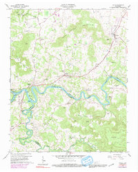
Editions of this 1960 Doyle Map
4 editions found
Other maps of this area

1892 · Pikeville
USGS Topo · 1:125,000

1893 · Mc Minnville
USGS Topo · 1:125,000

1895 · Mc Minnville
USGS Topo · 1:125,000

1895 · Pikeville
USGS Topo · 1:125,000

1943 · Cookeville
USGS Topo · 1:100,000

1944 · Cookeville
USGS Topo · 1:100,000

1953 · Chattanooga
USGS Topo · 1:250,000

1954 · Sparta
USGS Topo · 1:24,000
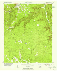
1954 · Spencer
USGS Topo · 1:24,000
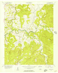
1956 · Bald Knob
USGS Topo · 1:24,000