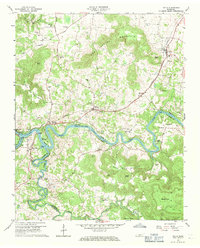
1960 Map of Doyle
USGS Topo · Published 1971About this map
The Caney Fork carves a deep, winding path through this Middle Tennessee landscape, forming the natural boundary between White and Van Buren counties. By the early 1960s, the influence of the Great Falls Lake and Center Hill Reservoir is evident in the broad, flooded channels of the Caney Fork, Collins River, and Rocky River. These waterways meet near the settlement of Rock Island, a focal point for local transport and recreation.
Find a feature on this map
64 named features on this map. Tap any name to fly to it.
Don’t see what you’re looking for? This feature index may not catch every label — zoom into the map to look around manually.
Map Details
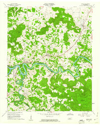
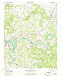
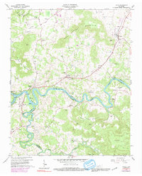
Editions of this 1960 Doyle Map
4 editions found
Other maps of this area

1892 · Pikeville
USGS Topo · 1:125,000

1893 · Mc Minnville
USGS Topo · 1:125,000

1895 · Mc Minnville
USGS Topo · 1:125,000

1895 · Pikeville
USGS Topo · 1:125,000

1943 · Cookeville
USGS Topo · 1:100,000

1944 · Cookeville
USGS Topo · 1:100,000

1953 · Chattanooga
USGS Topo · 1:250,000

1954 · Sparta
USGS Topo · 1:24,000
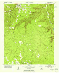
1954 · Spencer
USGS Topo · 1:24,000
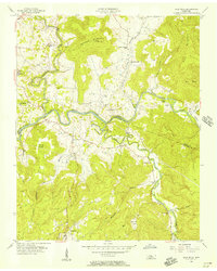
1956 · Bald Knob
USGS Topo · 1:24,000