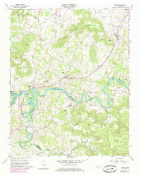
1960 Map of Doyle
USGS Topo · Published 1979About this map
Great Falls Lake serves as a central hydraulic hub in this mid-century topographic record, where the Caney Fork and Collins River converge at the Great Falls Dam. The landscape is a complex network of plateaus and hollows, most notably Gum Spring Mountain and Bone Cave Mountain, the latter named for the significant Bone Cave feature. The industrial and transit foundations of the region are anchored by the Louisville and Nashville railroad, which links the settlements of Doyle, Quebeck, and Walling. Historic thoroughfares like the Old Kentucky Road and Francis Ferry Road highlight the area's legacy as a regional crossroads. Numerous rural landmarks, including the Quebeck Sch and cemeteries like Old Jericho Cem and Grissom Cem, provide essential data points for genealogical research and local history studies.
Find a feature on this map
71 named features on this map. Tap any name to fly to it.
Don’t see what you’re looking for? This feature index may not catch every label — zoom into the map to look around manually.
Map Details
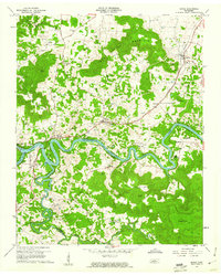
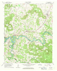
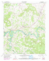
Editions of this 1960 Doyle Map
4 editions found
Other maps of this area

1892 · Pikeville
USGS Topo · 1:125,000

1893 · Mc Minnville
USGS Topo · 1:125,000

1895 · Mc Minnville
USGS Topo · 1:125,000

1895 · Pikeville
USGS Topo · 1:125,000

1943 · Cookeville
USGS Topo · 1:100,000

1944 · Cookeville
USGS Topo · 1:100,000

1953 · Chattanooga
USGS Topo · 1:250,000

1954 · Sparta
USGS Topo · 1:24,000
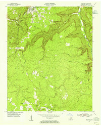
1954 · Spencer
USGS Topo · 1:24,000
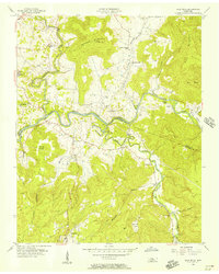
1956 · Bald Knob
USGS Topo · 1:24,000