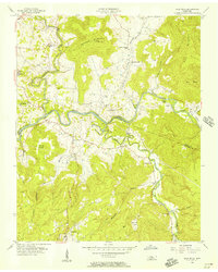
1956 Map of Bald Knob
USGS Topo · Published 1957About this map
The Calfkiller River and Caney Fork converge within this mid-century portrait of the Tennessee Highland Rim, where the water levels of Great Falls Lake back into winding river gorges. The settlement of Spencer anchors the southern portion of the sheet, serving as a gateway to the steep ravines and plateaus of the Van Buren and White County line. The map captures a rural landscape defined by narrow valleys and upland coves, including Turkey Cot Cove and Lost Cove, which dictated the placement of small communities like Cummingsville and River Hill.
Find a feature on this map
41 named features on this map. Tap any name to fly to it.
Don’t see what you’re looking for? This feature index may not catch every label — zoom into the map to look around manually.
Map Details
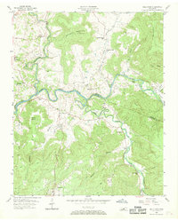
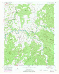
Editions of this 1956 Bald Knob Map
3 editions found
Other maps of this area

1892 · Pikeville
USGS Topo · 1:125,000

1893 · Mc Minnville
USGS Topo · 1:125,000

1895 · Mc Minnville
USGS Topo · 1:125,000

1895 · Pikeville
USGS Topo · 1:125,000

1943 · Cookeville
USGS Topo · 1:100,000

1944 · Cookeville
USGS Topo · 1:100,000

1953 · Chattanooga
USGS Topo · 1:250,000

1954 · De Rossett
USGS Topo · 1:24,000

1954 · Sparta
USGS Topo · 1:24,000
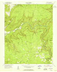
1954 · Lonewood
USGS Topo · 1:24,000