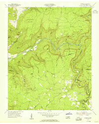
1954 Map of Lonewood
USGS Topo · Published 1955About this map
The Caney Fork carves a deep path through this 1954 survey of White and Van Buren Counties, defining a landscape where steep ridges meet pocketed valleys. The small settlement of Lonewood serves as a local anchor near Spring Creek, while the remote hamlet of Bethesda sits near the river's bend. This area is characterized by dramatic karst topography, including natural features like Virgin Falls and the massive Big Sink, which signal the complex subterranean drainage systems of the Cumberland Plateau. Family history is etched into the terrain through numerous small burial grounds, including Parks Cem on Pine Mountain and Mitchell Cem near Little Chestnut Mountain. The presence of a Strip Mine in the southeast corner near the Bledsoe County line points to the mid-century industrial activity that existed alongside rural farmsteads and the designated State Forest lands.
Find a feature on this map
60 named features on this map. Tap any name to fly to it.
Don’t see what you’re looking for? This feature index may not catch every label — zoom into the map to look around manually.
Map Details
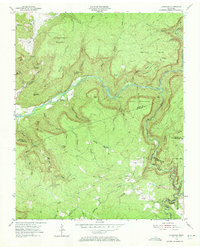
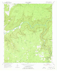
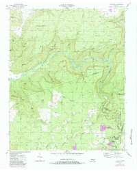
Editions of this 1954 Lonewood Map
4 editions found
Other maps of this area

1892 · Pikeville
USGS Topo · 1:125,000

1895 · Pikeville
USGS Topo · 1:125,000

1909 · Sequatchie Valley
USGS Topo · 1:62,500

1910 · Pikeville
USGS Topo · 1:62,500

1912 · Crossville
USGS Topo · 1:62,500

1935 · Billingsley Gap
USGS Topo · 1:24,000

1943 · Cookeville
USGS Topo · 1:100,000

1944 · Cookeville
USGS Topo · 1:100,000

1953 · Chattanooga
USGS Topo · 1:250,000

1954 · De Rossett
USGS Topo · 1:24,000