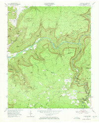
1954 Map of Lonewood
USGS Topo · Published 1972About this map
Caney Fork cuts a deep, winding path through the plateau where the borders of White, Van Buren, Cumberland, and Bledsoe counties meet. In the early 1950s, this landscape was defined by isolated settlements like Bethesda and Lonewood, where life centered around narrow valleys and high ridges. The map reveals a rugged geography of sinks and gaps, including Big Sink and Berkshire Gap, which dictated the movement of early residents. Cultural landmarks such as Lonewood Cem and Parks Cem offer vital clues for genealogists tracking families in this remote corner of Tennessee.
Find a feature on this map
62 named features on this map. Tap any name to fly to it.
Don’t see what you’re looking for? This feature index may not catch every label — zoom into the map to look around manually.
Map Details
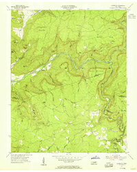
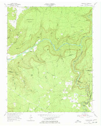
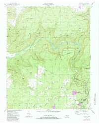
Editions of this 1954 Lonewood Map
4 editions found
Other maps of this area

1892 · Pikeville
USGS Topo · 1:125,000

1895 · Pikeville
USGS Topo · 1:125,000

1909 · Sequatchie Valley
USGS Topo · 1:62,500

1910 · Pikeville
USGS Topo · 1:62,500

1912 · Crossville
USGS Topo · 1:62,500

1935 · Billingsley Gap
USGS Topo · 1:24,000

1943 · Cookeville
USGS Topo · 1:100,000

1944 · Cookeville
USGS Topo · 1:100,000

1953 · Chattanooga
USGS Topo · 1:250,000

1954 · De Rossett
USGS Topo · 1:24,000