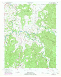
1956 Map of Bald Knob
USGS Topo · Published 1979About this map
The Calfkiller River and the winding Caney Fork define this mid-century landscape on the border of White and Van Buren counties. The terrain transitions from the broad river bottoms to the steep slopes of Milksick Mountain, where a Lookout Tower stands as a prominent landmark. The settlement pattern is largely dictated by the topography, with small communities and country churches like Bethlehem Ch and Greenwood Ch clustered near the valley floors.
Find a feature on this map
39 named features on this map. Tap any name to fly to it.
Don’t see what you’re looking for? This feature index may not catch every label — zoom into the map to look around manually.
Map Details
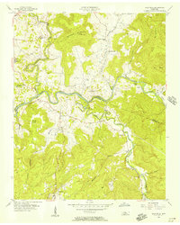
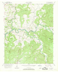
Editions of this 1956 Bald Knob Map
3 editions found
Other maps of this area

1892 · Pikeville
USGS Topo · 1:125,000

1893 · Mc Minnville
USGS Topo · 1:125,000

1895 · Mc Minnville
USGS Topo · 1:125,000

1895 · Pikeville
USGS Topo · 1:125,000

1943 · Cookeville
USGS Topo · 1:100,000

1944 · Cookeville
USGS Topo · 1:100,000

1953 · Chattanooga
USGS Topo · 1:250,000

1954 · De Rossett
USGS Topo · 1:24,000

1954 · Sparta
USGS Topo · 1:24,000
1954 · Lonewood
USGS Topo · 1:24,000