
1943 Map of Dragoon
USGS Topo · Published 1943About this map
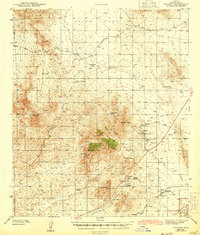
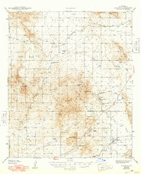
Dragoon stands as a focal point along the Southern Pacific railroad at the southern edge of this Cochise County landscape. The map reveals an area defined by mining and ranching interests during the early 1940s, notably around the settlement of Johnson, where the Republic Mine, Johnson Mine, and Keystone Mine clustered near Johnson Peak. A small Cem and Texas Canyon Sch reflect the community infrastructure serving the local labor force and homesteaders.
Find a feature on this map
52 named features on this map. Tap any name to fly to it.
Don’t see what you’re looking for? This feature index may not catch every label — zoom into the map to look around manually.
Map Details
Editions of this 1943 Dragoon Map
3 editions found
Other maps of this area

1915 · Benson
USGS Topo · 1:125,000

1916 · Pearce
USGS Topo · 1:125,000

1922 · Willcox
USGS Topo · 1:125,000

1922 · St. David
USGS Topo · 1:62,500

1926 · Whetstone
USGS Topo · 1:62,500

1926 · Courtland
USGS Topo · 1:62,500

1943 · Willcox
USGS Topo · 1:62,500

1943 · Benson
USGS Topo · 1:125,000

1943 · Cochise
USGS Topo · 1:62,500

1943 · Winchester Mts.
USGS Topo · 1:62,500