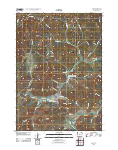
2011 Map of Drain
USGS Topo · Published 2011About this map
The town of Drain sits at the confluence of several vital water systems, where Elk Creek meets Pass Creek and Hendrick Creek. This 2011 survey reveals an economy deeply tied to the timber industry, marked by multiple industrial features such as the Drain Plywood Company Log Pond, the Smith River Lumber Company Log Pond, and the Mount Baldy Log Pond. These water-based infrastructure points are essential to the regional milling operations that have long sustained this Douglas County community.
Find a feature on this map
60 named features on this map. Tap any name to fly to it.
Don’t see what you’re looking for? This feature index may not catch every label — zoom into the map to look around manually.
Map Details
Editions of this 2011 Drain Map
This is the sole edition of this map. No revisions or reprints were ever made.
Other maps of this area
1921 · Cottage Grove
USGS Topo · 1:62,500
1942 · Crow
USGS Topo · 1:62,500
1945 · Crow
USGS Topo · 1:62,500
1954 · Drain
USGS Topo · 1:62,500
1954 · Anlauf
USGS Topo · 1:62,500
1957 · Cottage Grove
USGS Topo · 1:62,500

1958 · Roseburg
USGS Topo · 1:250,000

1959 · Roseburg
USGS Topo · 1:250,000
1979 · Cottage Grove
USGS Topo · 1:100,000
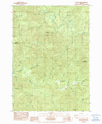
1984 · Beaver Creek
USGS Topo · 1:24,000