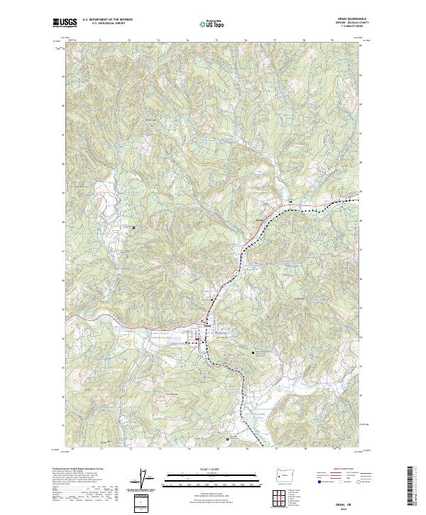
2024 Map of Drain
USGS Topo · Published 2024About this map
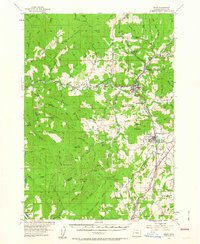
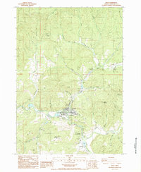
The town of Drain serves as the focal point for this Douglas County survey, situated at the confluence of Elk Creek and Yoncalla Creek. The local timber industry is clearly visible through industrial landmarks such as the Drain Plywood Company Log Pond, the Smith River Log Pond, and the Mount Baldy Log Pond, reflecting the area's economic reliance on the surrounding forests. The landscape is defined by significant elevations, including Mt Yoncalla, Drain Hill, and Bear Hill, while Windy Gap provides a notable passage through the northern ridges.
Find a feature on this map
88 named features on this map. Tap any name to fly to it.
Don’t see what you’re looking for? This feature index may not catch every label — zoom into the map to look around manually.
Map Details
Editions of this 2024 Drain Map
This is the sole edition of this map. No revisions or reprints were ever made.